
14 June 2026
As in previous years, I combined my annual holiday with a car maintenance trip to Europe. This time the journey would be longer than before — the plan was to be on the road for about three weeks. The reason was simple: the destination lay far away in the Pyrenees mountains in Spain. Three weeks on the road leaves room for many experiences, but the main goal in the Pyrenees — where we planned to stay for seven nights — was to do day hikes and enjoy driving the Alpine on mountain roads.
I've been to various parts of the Alps many times, but only once — very briefly, about 25 years ago — in the Pyrenees, in Andorra. It would be interesting to see how the Pyrenees differ from the Alps.
The plan, as usual, began with the ferry from Helsinki to Travemünde, followed by a drive through northern Germany to Belgium. My partner would fly to Belgium, to Charleroi Airport, where I would pick her up. From there we would continue together across France toward the Pyrenees. In France we would stay in three different places along the way: first near the Belgian border in a place called Rocroi, then two nights in the town of Blois, and finally one night in Saint-Émilion.
From there the route would take us across the Pyrenees to Jaca in Spain. One night there, then three nights in the town of Aínsa, and another three nights in Vielha — all on the Spanish side of the Pyrenees.
After that we would head north again, crossing through Andorra into France, spending one night on the Mediterranean coast in a town called Frontignan. Then onward to a small French village called Domessin, located near the Alps between Grenoble and Lyon. My partner's sister and her family live there, and they had kindly offered to host us for a few nights.
From Domessin I would continue north alone, as my partner would stay with her sister for another week. My route would take me through Switzerland to southern Germany, into the Black Forest region, and then through Germany back to Travemünde.
Altogether, the plan required a bit more than three weeks, and the Alpine would accumulate over 5,000 km. The car's service was scheduled to be done in Annecy, France, while we were staying in Domessin.
Packing for a three-week trip for two people in an Alpine — a car with rather limited luggage space — was its own challenge. Especially since we also needed to bring hiking gear. We had to think carefully about what to take, but in the end we managed to pack everything — and hopefully all the essential stuff made it into the car.


The Finnlines ferry was scheduled to depart from Vuosaari Harbour in Helsinki at 15:00. Before that, I had a little over a hundred kilometres to drive from Hollola. This was already the fifth year in a row that I travelled with Finnlines, so the routine was familiar.


The ferry crossing takes 30 hours, and since there's no internet connection for most of the journey, it's a perfect opportunity to focus on reading, solving sudoku puzzles — or even something as radical as thinking.
The ferry arrived in Travemünde the following evening at 21:00. From the harbour I drove a short two-hour stretch along the autobahns toward the Bremen area, to a town called Oyten. I stayed the night at Aparthotel Höper. The warm-up phase of the trip was now complete, and the next day would already be a much longer driving day.

Early in the morning I headed back onto the autobahn toward Cologne, where I had arranged to meet my old Belgian friend Peter.

I arrived in Cologne around midday, and Peter was waiting for me at the Bocklemünd Park & Ride area. I left the Alpine there, and we continued by tram into the city centre.
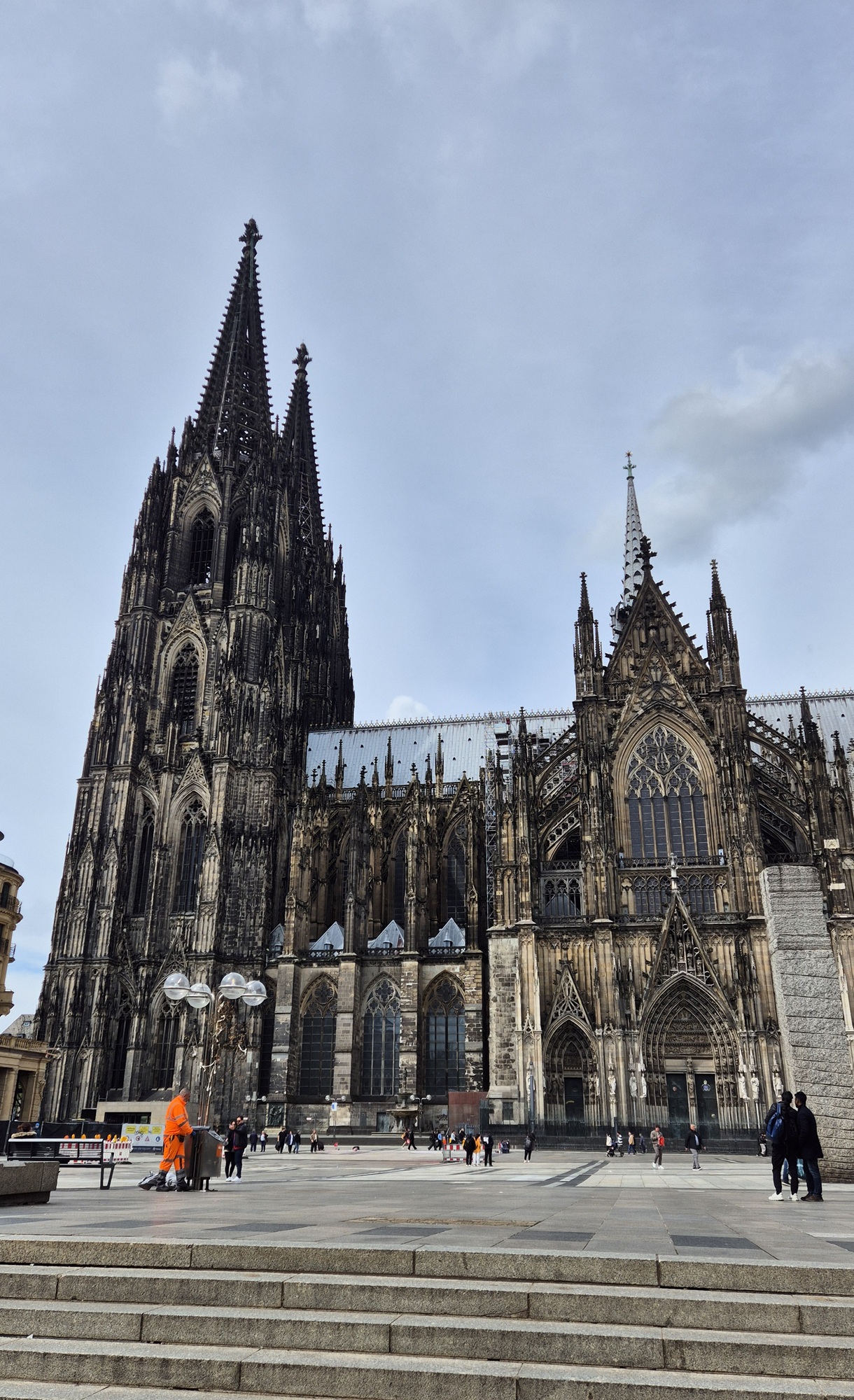
We first had lunch, and then Peter showed me around the city — a place completely new to me, as I had never visited Cologne before. One of the main sights is, of course, the Cologne Cathedral, which was impressively large.


In the early evening I started driving toward Charleroi Airport. And since we were in Belgium, it was only appropriate to eat the national dish — French fries. They were excellent, as always.

My partner's flight arrived around 22:30, and I picked her up at the airport. Charleroi was quite chaotic, but we managed to find each other.
In the dark evening we still had about an hour's drive ahead of us to Rocroi on the French side of the border. Along the way we encountered roadworks with very unclear detour signs, which sent us onto a long detour along a narrow road in the middle of a dark forest. Eventually, around midnight, we reached our accommodation in Rocroi.

In the morning we continued our journey toward the town of Blois in central France. The plan was to avoid toll roads and instead drive along smaller, more scenic routes. So we set the navigation to avoid tolls — and kept that setting on for the entire drive across France.
Blois, located on the banks of the Loire River, had been chosen mainly because of the many castles in the surrounding area. We would spend two nights there.
The drive toward Blois took us through countless small towns and villages, giving us a much better view of rural France than we would have had by rushing along motorways. Of course, travelling this way is slower, but personally I find this kind of road trip far more enjoyable. Sometimes you do need to make fast progress, and then the motorway is useful — but not today.
We stopped for lunch in a town called Sens — crêpes!
In the early evening we arrived in Blois, where we stayed in an apartment near the city centre. Later we had dinner by the Loire River at an excellent restaurant called Le Maryland. Overall, the food in France was consistently excellent — we managed to find good, reasonably priced restaurants throughout the trip.
To end the evening, we took a short walk to admire the town.


Castle day! In the morning we drove about twenty kilometres from Blois to visit the Château de Chambord. The Château de Chambord was built in the 1500s and 1600s, and it is the largest of the many castles in the Loire Valley. It truly was enormous — and impressive.

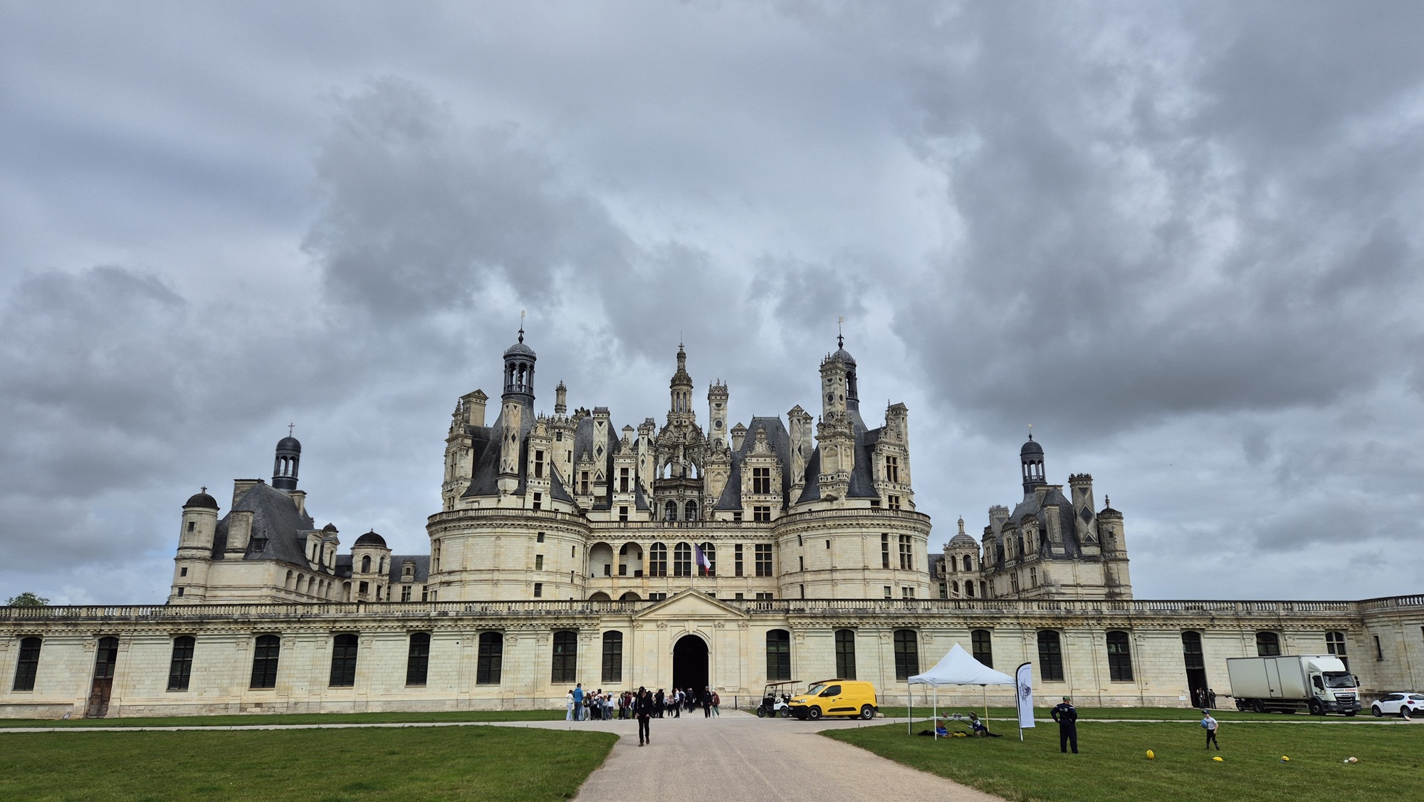
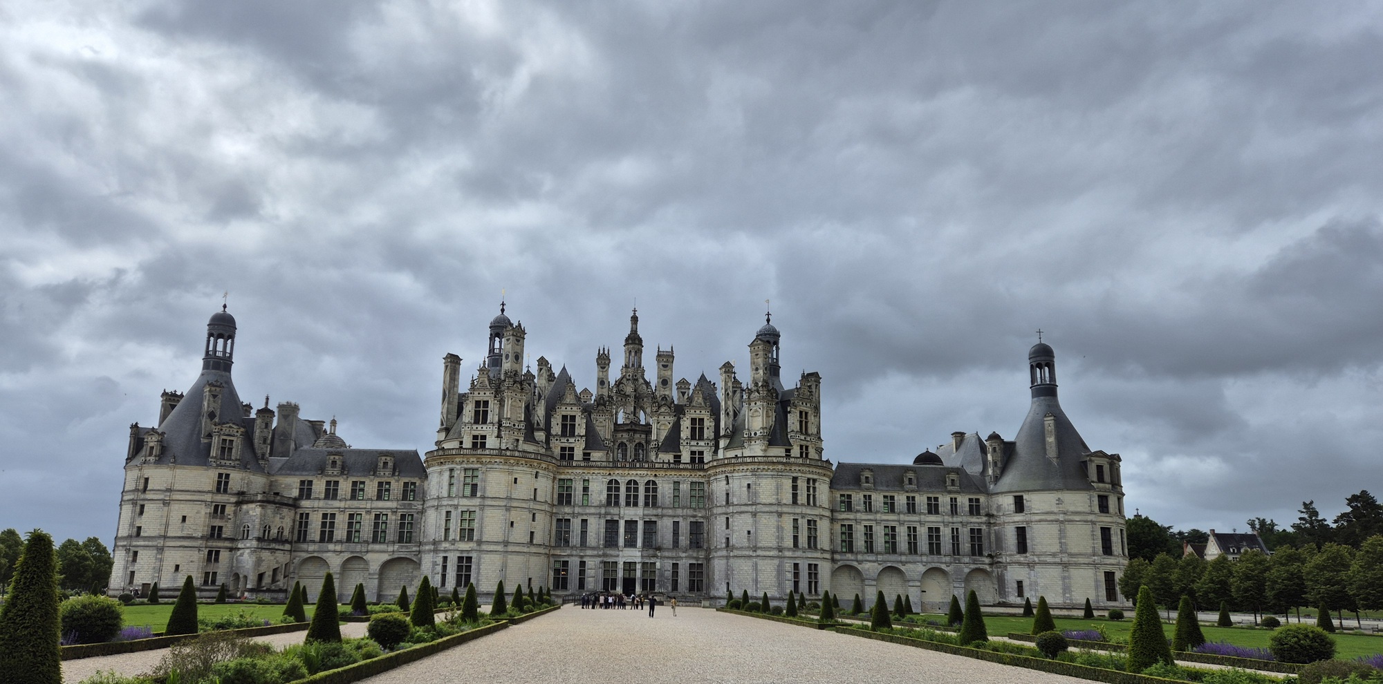


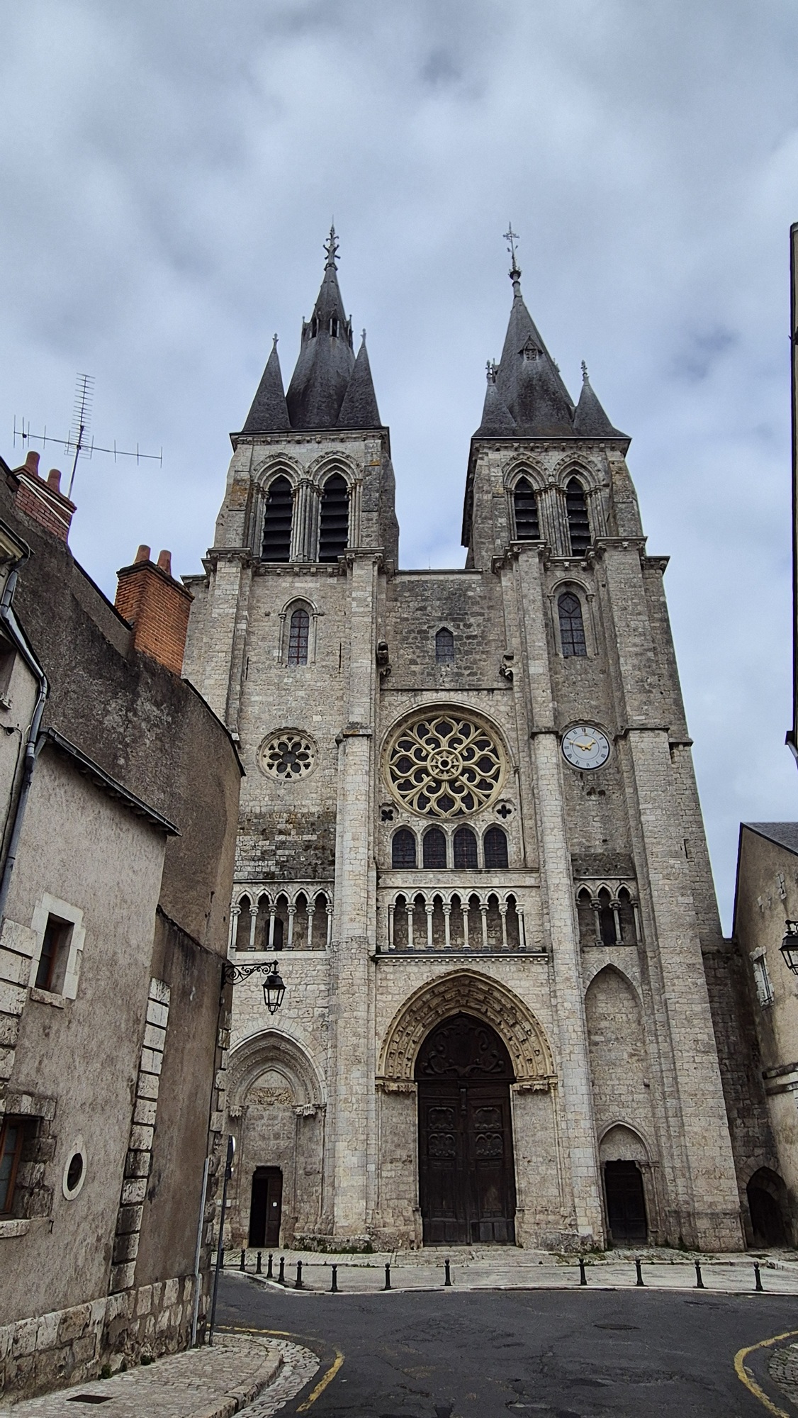
We returned to Blois for lunch, and in the afternoon we explored the town and visited its own castle, the Château de Blois. It is older than Chambord — construction began already in the 900s. Located right in the centre of town, it was interesting in its own way, but Chambord was clearly the more impressive of the two.



Back on the road again. The day's drive was a little over four hundred kilometres toward the Saint-Émilion wine region near Bordeaux. During the first days of the trip, temperatures had been around twenty degrees Celcius, but now they began to rise toward thirty.

Once again we saw plenty of French countryside and small towns. For lunch
we chose Restaurant de la Plage, located by a river in a place called
Valdivienne. A three-course lunch for €15.50 per person, a pleasant
setting, good company and excellent food. Not bad at all!
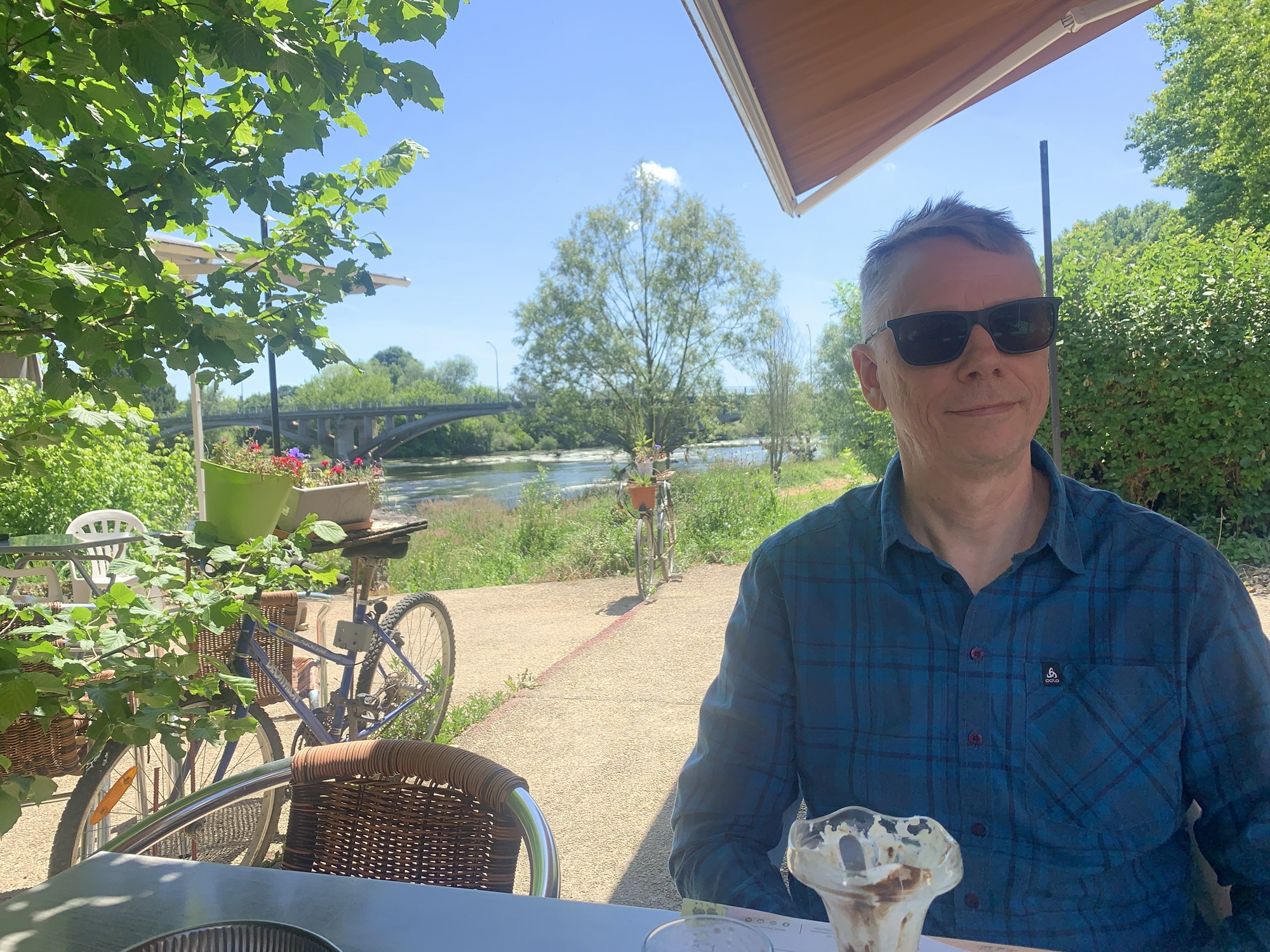
After lunch, it was back to the road again. Driving in France outside the motorways was pleasant; at times the roads were straight, but along the way there were also some very interesting twisty sections where the Alpine was truly in its element. We also passed through many small villages — and roundabouts — which the French seemed to love, as they had scattered them absolutely everywhere.


The final stretch of the drive took us through beautiful vineyards until we reached the village of Vignonet near Saint-Émilion. We had left in the morning around ten, and arrived at our destination at seven in the evening.

We still had enough energy to drive to Saint-Émilion for dinner and a walk around the town. The food was good, the non-air-conditioned restaurant was extremely hot, and the service a bit rude.
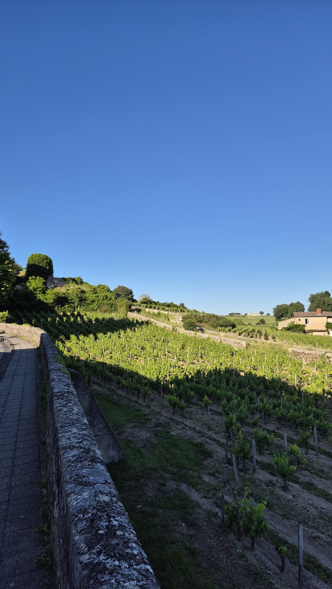
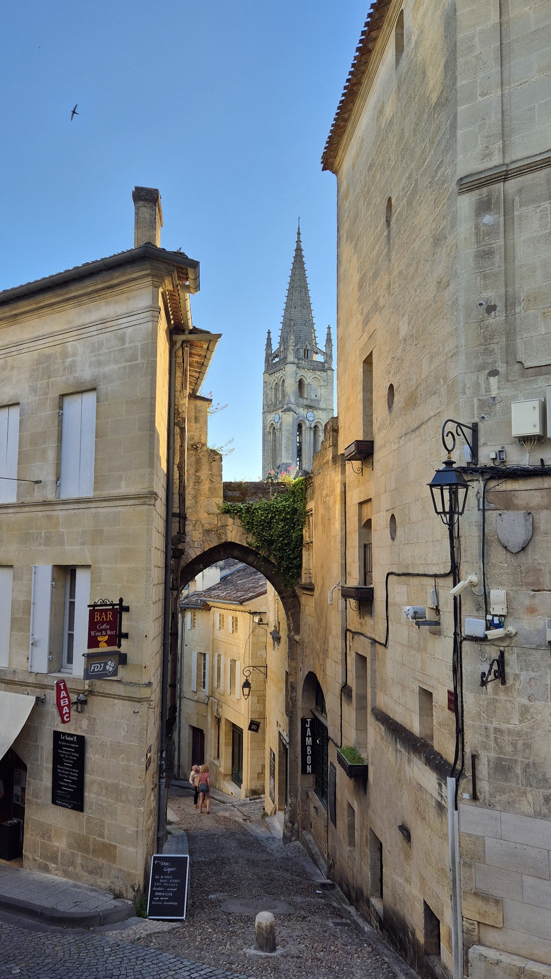
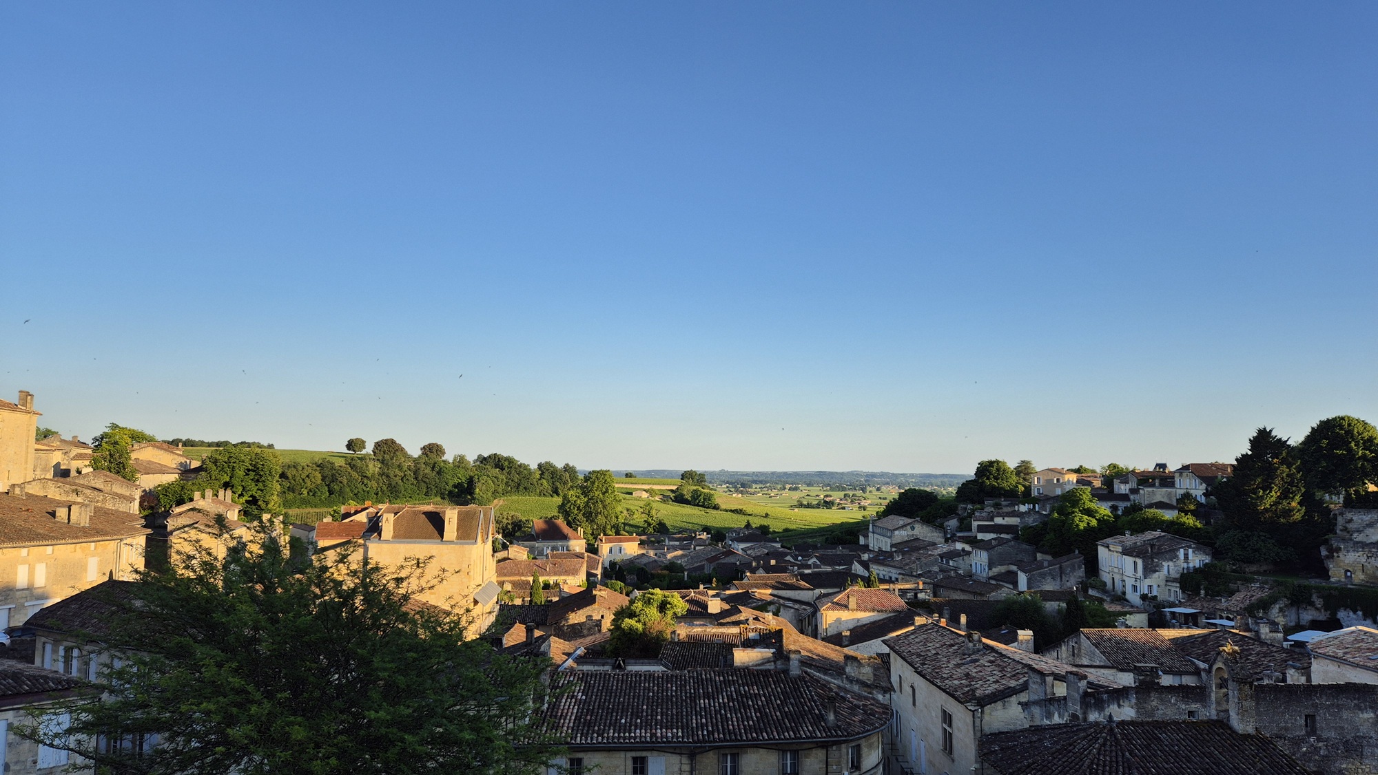
Saint-Émilion has, among other things, a partly underground church, and the town itself is beautiful, old, and built on a hillside. A charming place!


We set off around nine in the morning. The destination was Spain, and during the day we would cross the Pyrenees. An exciting driving day ahead.

The first part of the drive followed mostly straight French roads all the way to the city of Pau. The day was hot, with temperatures climbing well above thirty degrees Celcius.
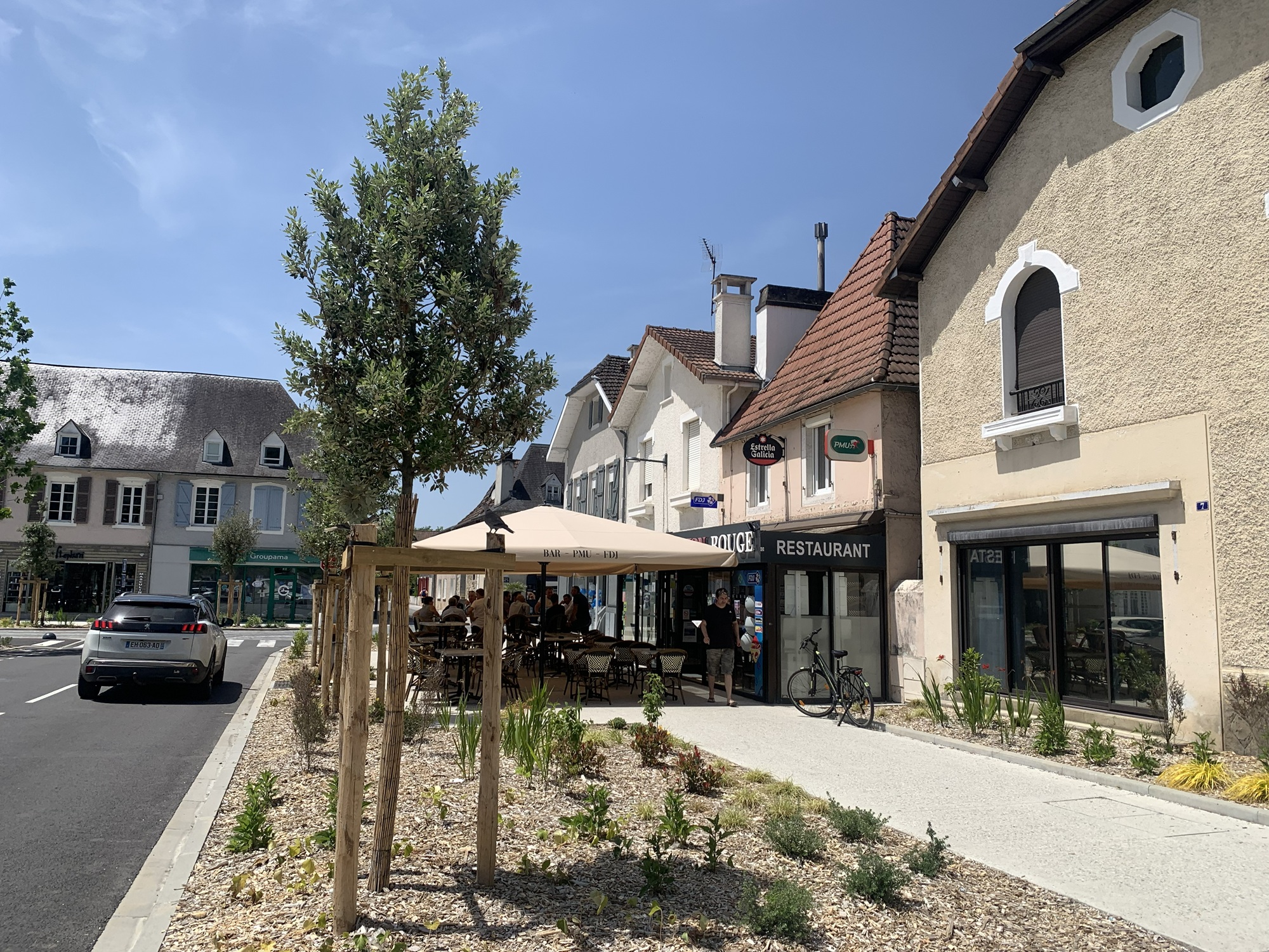
Before reaching Pau, snow-capped mountains began to appear on the horizon. Wonderful! After Pau the road started to climb gradually. Bit by bit the incline increased, and soon we were on proper mountain switchbacks. The road surface was excellent and traffic almost nonexistent. Truly enjoyable driving on the way up. Eventually we passed the tree line, and magnificent mountain scenery opened up around us.
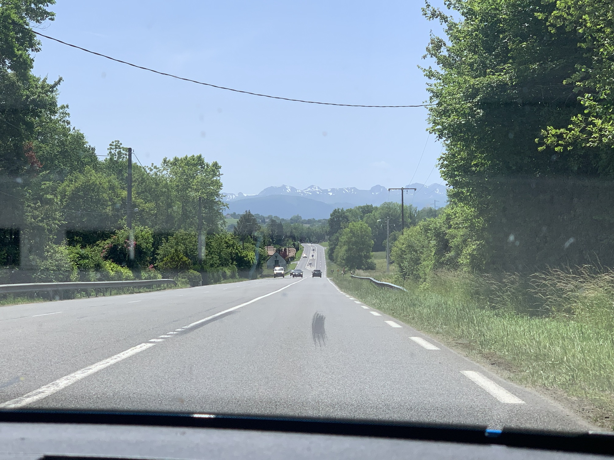

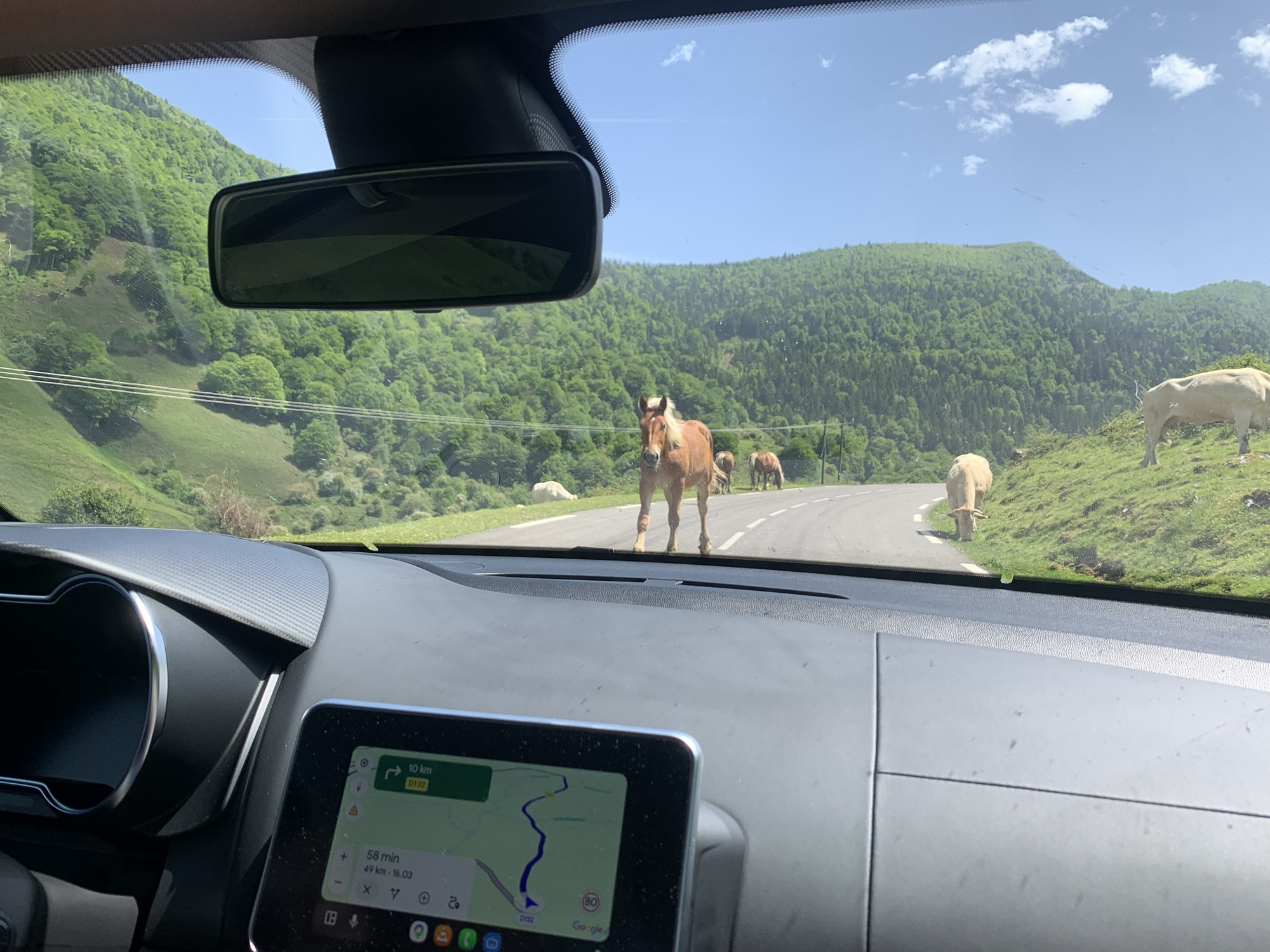
We crossed the Pyrenees via the Col de la Pierre Saint-Martin pass at about 1,700 metres. On the French side we climbed up along road D132. Then came the descent on road NA-137 on the Spanish side — absolutely glorious driving. Tighter switchbacks higher up, then smoother, faster sections lower down. Still almost no traffic, and the road surface was excellent. Pure joy. One of the best driving days I've ever had. The Alpine was simply perfect for these roads. Fortunately my partner also enjoyed being a passenger on mountain roads — she seemed to love the experience too.
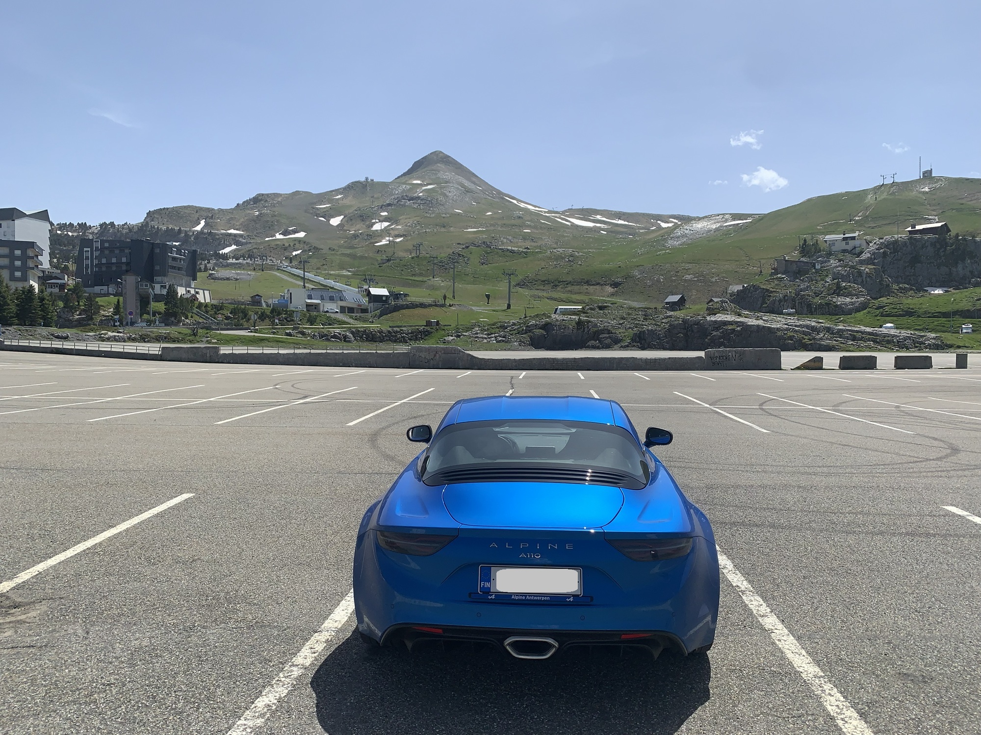
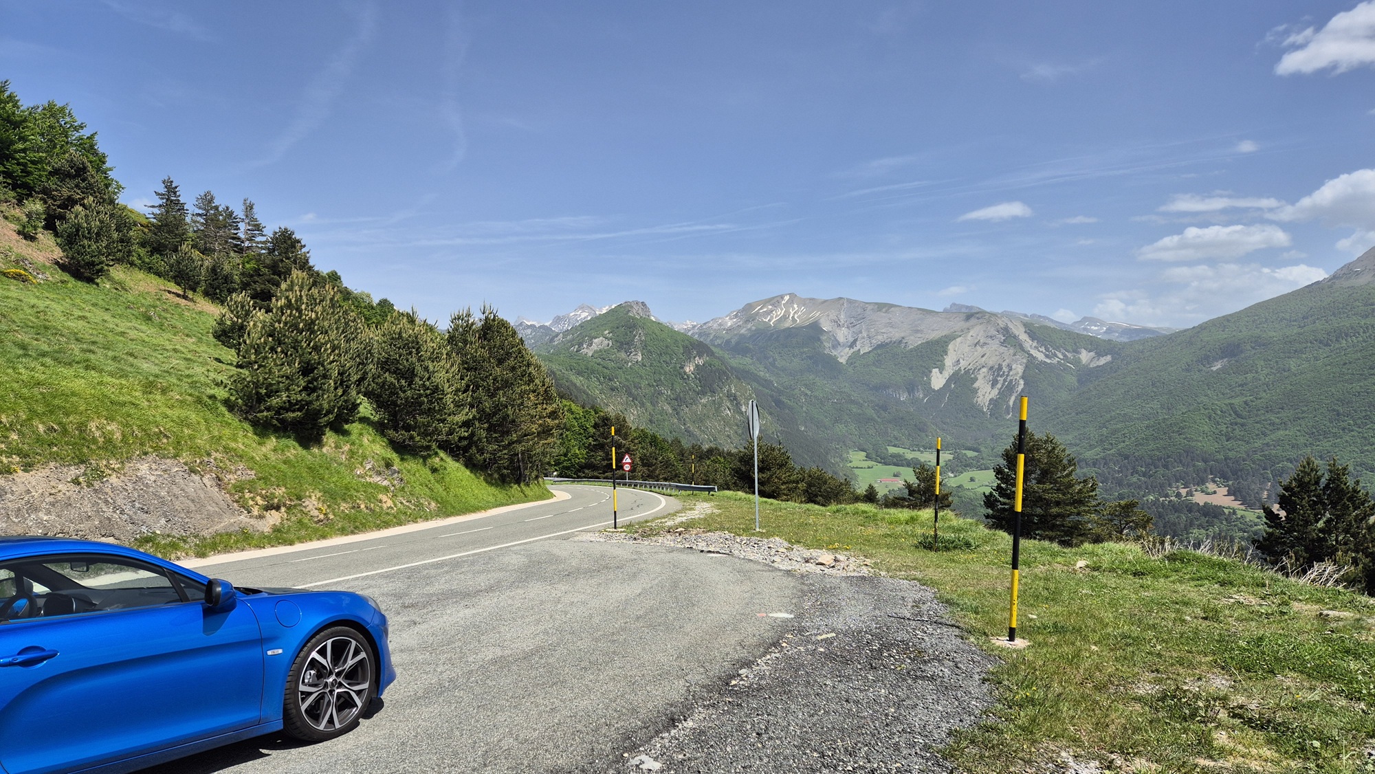
After descending from the mountains, we cruised along larger roads (N-240) toward our destination, Jaca. By the time we arrived, I was tired after a long day of highly focused driving, but also very satisfied with everything the day had offered.
Our accommodation was Aparthotel & Spa Jacetania, slightly outside the town centre. Because of the fatigue we had dinner at the hotel restaurant. The food was good and reasonably priced. The stay also included access to the hotel's spa, which was a perfect way to relax tired muscles after the day's efforts. The hotel was clean, though the strict rules and bureaucracy were… interesting.

A short evening walk, and then sleep came easily. It was very warm in Jaca, though fortunately the air had been much fresher earlier up in the mountains.
First hiking day.
For the next three nights we would be staying in a place called Aínsa, located at an altitude of about 800 metres. During the day we drove from Jaca to Aínsa and then onward toward the hike called Llanos de la Larri, before returning to Aínsa for the night.
Our plan was to do six day hikes over the next six days — some longer, some easier recovery hikes in between. I have plenty of mountain hiking experience from over the years, but for my partner this was a newer experience. She had nevertheless expressed her interest bravely and enthusiastically, and we had done some longer walks together in Finland to prepare. Still, six demanding days lay ahead — we would see how well we would cope.
So, the next three nights our accommodation would be in Aínsa, followed by three nights in a town called Vielha. The planned hiking routes would all require some driving on mountain roads to reach the trailheads. Hopefully a pleasant combination of driving enjoyment and refreshing hikes in the mountain air.
Speaking of that refreshing mountain air — we had expected temperatures of around 5-15°C on the hikes. But during our trip in late May 2026, an unusual heatwave hit southern Europe. In the villages and lower altitudes daytime temperatures were around 30-35°C, and on the hikes at higher elevations only a few degrees cooler. So the hiking temperatures were about 10-15 degrees warmer than normal for this time of year. I'm not a fan of heat, and these conditions were too warm for my liking. Another small issue was our gear — we had packed for cooler weather, and with the Alpine's limited luggage space, we hadn't been able to bring extra clothing for hot conditions.
Well, we made do with what we had.
The starting point for the Llanos de la Larri hike was on the far side of Aínsa from Jaca, in a place called Pradera de Pineta. In the morning we first drove about an hour and a half to Aínsa. I had planned a detour along road N-260a, a narrow mountain road. There was more traffic than during the previous day's mountain crossing, so the early part of the drive didn't offer much opportunity to enjoy the Alpine. The scenery, however, was nice.
In Broto the road became slightly wider, and at times we could enjoy the drive in peace. Excellent!
We stopped in Aínsa to buy snacks for the hike and continued north along road A-138 toward the trailhead. We also had lunch before the hike at a restaurant called La Pipeta. Once again, the food was excellent.
After the village of Bielsa the road began to climb higher into the mountains — narrow and slow-going. When we reached the trailhead it was already half past one in the afternoon.

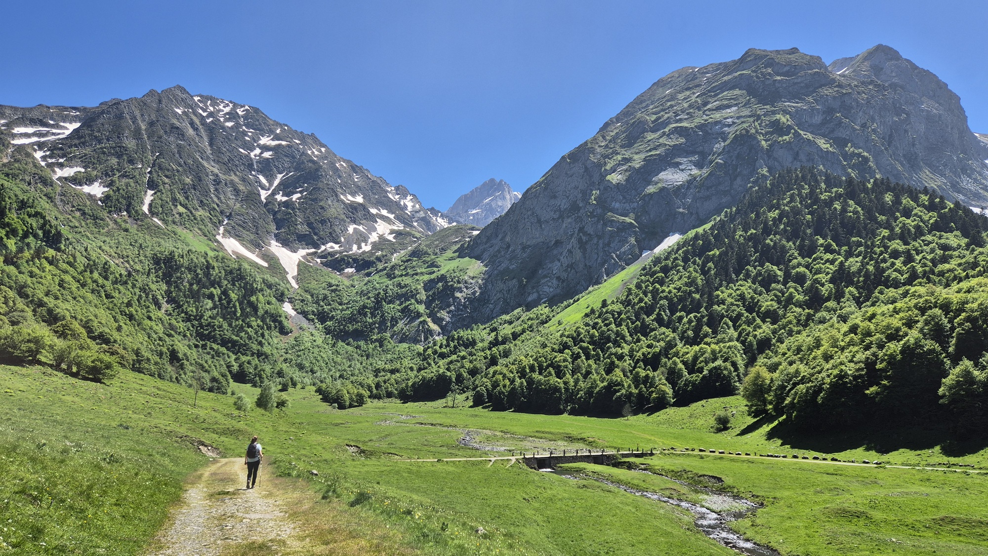
Llanos de la Larri — the name of the hike — refers to a waterfall along the route. We expected a roughly 10 km hike with about 370 metres of ascent.
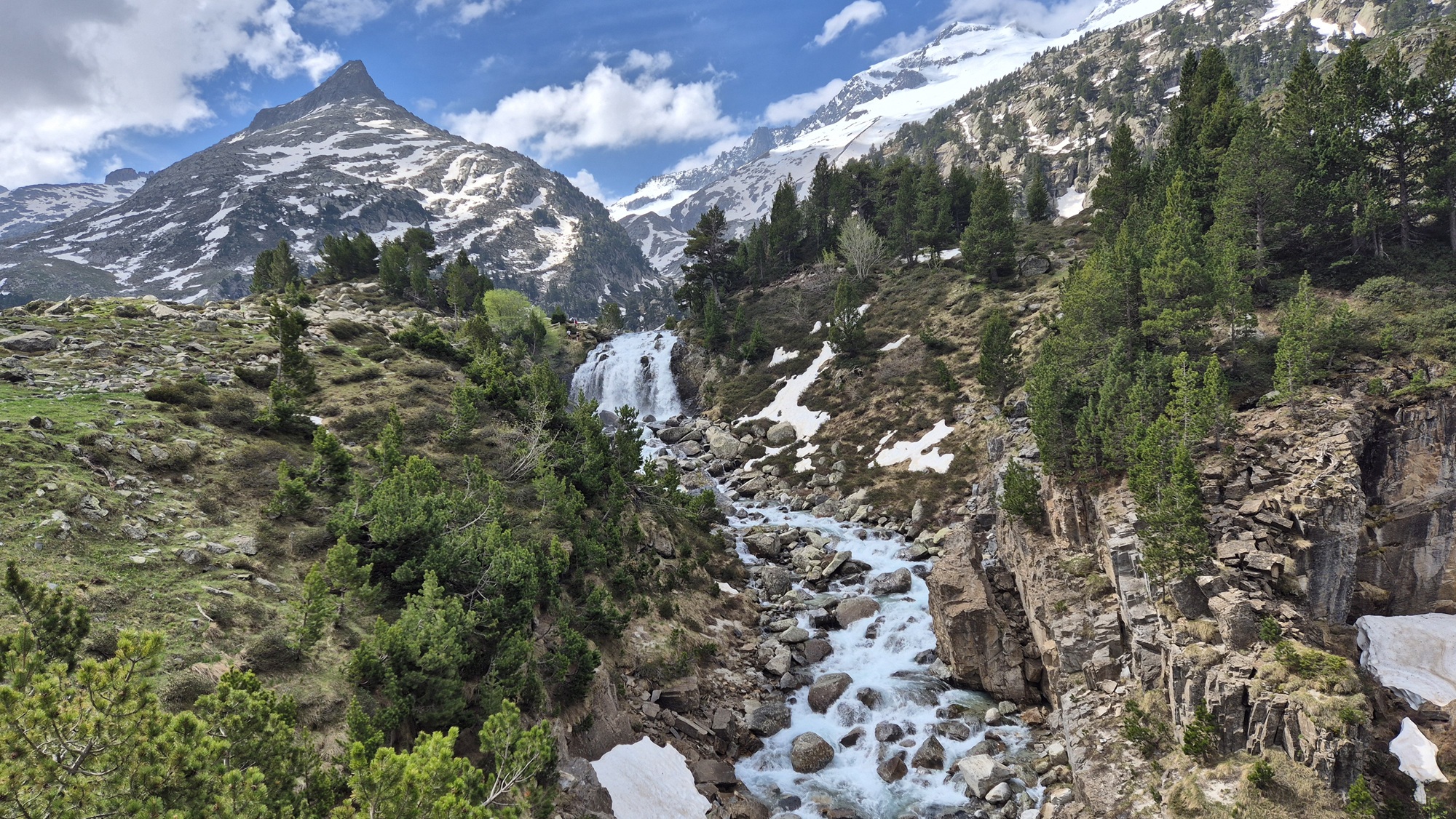
The beginning of the hike followed an easy, wide forest path. Early on we passed narrow waterfalls cascading down long stretches of the mountainside. After an hour of walking we reached the first larger waterfall. Beautiful and impressive.
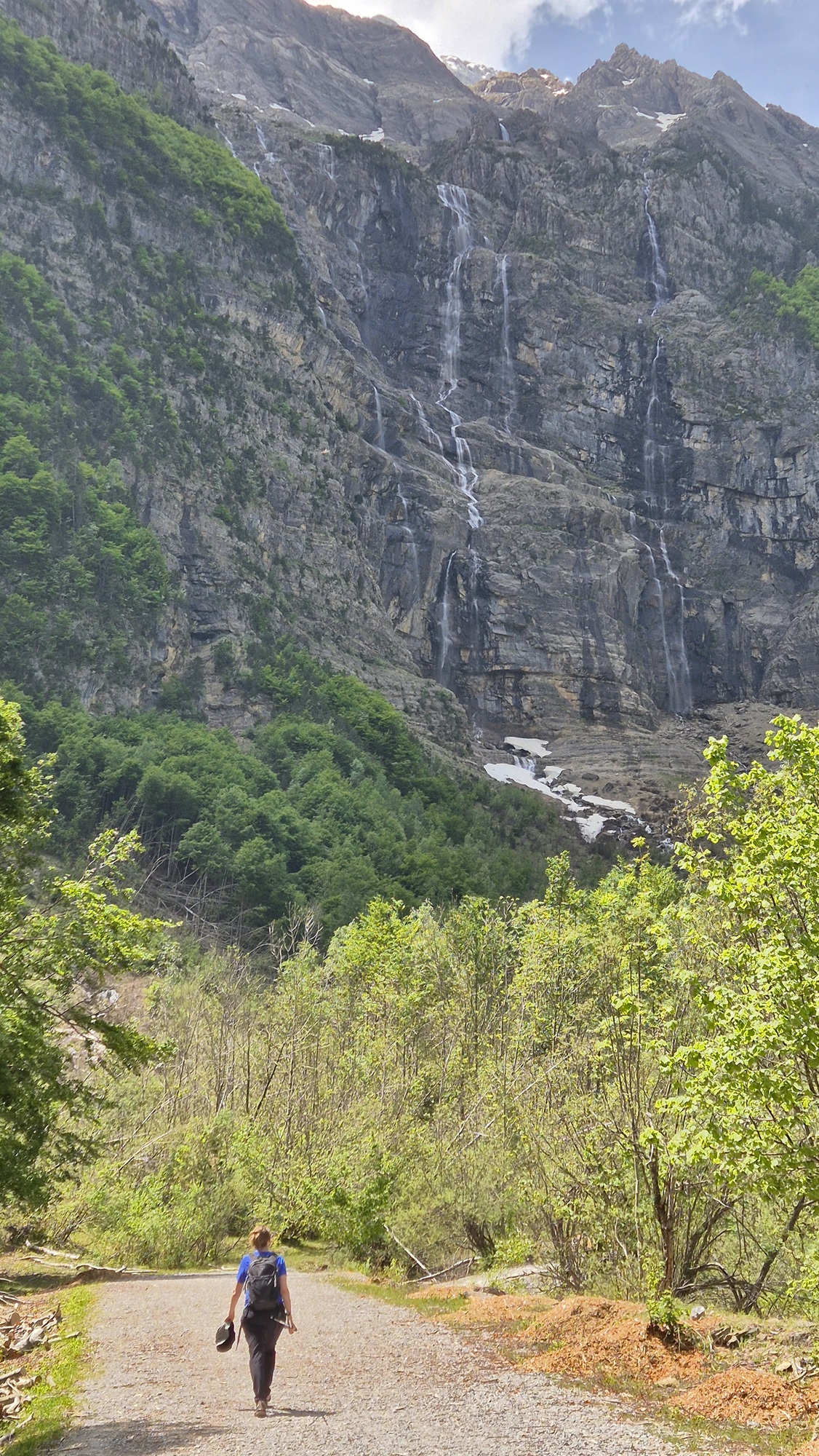

Another half hour later we reached the main Llanos de la Larri waterfall. The mist in the air was wonderfully refreshing after the climb. The waterfall was even more impressive than the earlier ones — powerful and thunderous.

From the waterfall the route continued gradually upward until we reached a wide plateau after nearly two hours of hiking. The plateau was peaceful and calming — a perfect place for a snack break.


At the end of the valley there was yet another waterfall, which we admired for a moment before turning back. On the treeless plateau cows and horses were grazing freely.

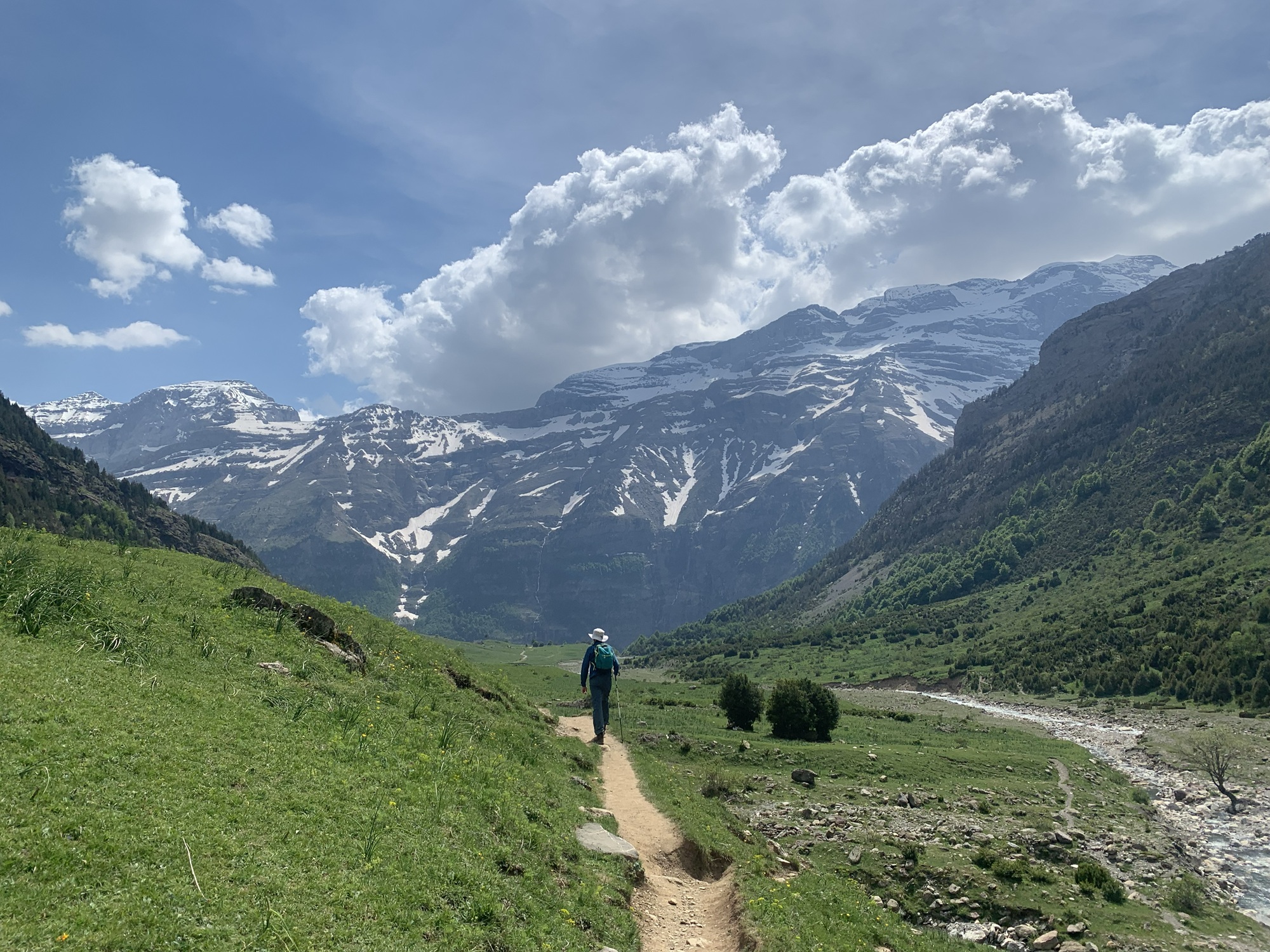
We followed the same route back to the Llanos de la Larri waterfall, but from there the descent continued along a much steeper path right beside the falls.

On the way down we met an older Spanish couple who asked how to get back to the parking area. They were heading in the completely wrong direction, so we pointed them the right way and promised to guide them back. At the end of the steep section there should have been a short flat path back to the car — but that path was closed. An unpleasant surprise! This was likely where the Spanish couple had gone wrong.
So we had no choice but to take an extra 2-3 km detour to rejoin the wide path we had used at the beginning. That's what we did, and we guided the Spanish couple back with us.
We finally reached the car after just under five hours and 12.8 km. A great hike with magnificent scenery — an excellent start to the hiking days.

After the hike we drove about half an hour back to Aínsa, where we had a nice apartment for three nights at Apartamentos Dos Rios Aínsa. The same complex also had a hotel and a large restaurant offering breakfast for €11 per person. We decided to have that breakfast every morning.
Our accommodation was located down by the river in a lively area close to services. Aínsa also has an old town on a hill, and we managed to walk up there for dinner despite the heavy hike. This time the food wasn't great, and for some reason Aínsa didn't have particularly good restaurant options overall.
For this day we had planned the longest hike of the entire trip — the 20 km Cola de Caballo. We woke up early to prepare. However, the weather forecast predicted possible thunderstorms in the valley where the hike would take place, so we postponed Cola de Caballo to the next day. Instead, we chose the Forau d'Aigualluts hike, which had originally been planned for later.
The drive began along road N-260, a pleasant wide road, and included an absolutely stunning stretch through a very narrow canyon — a truly enjoyable drive in a unique landscape. Fantastic stuff! Near the trailhead, however, the final few kilometres on road A-139 were on extremely poor asphalt. We had to drive very slowly to avoid the potholes. Terrible stuff! At the La Besurta parking area we were already at a fairly high altitude, and the air felt pleasantly cool after the heat in the lower valleys.
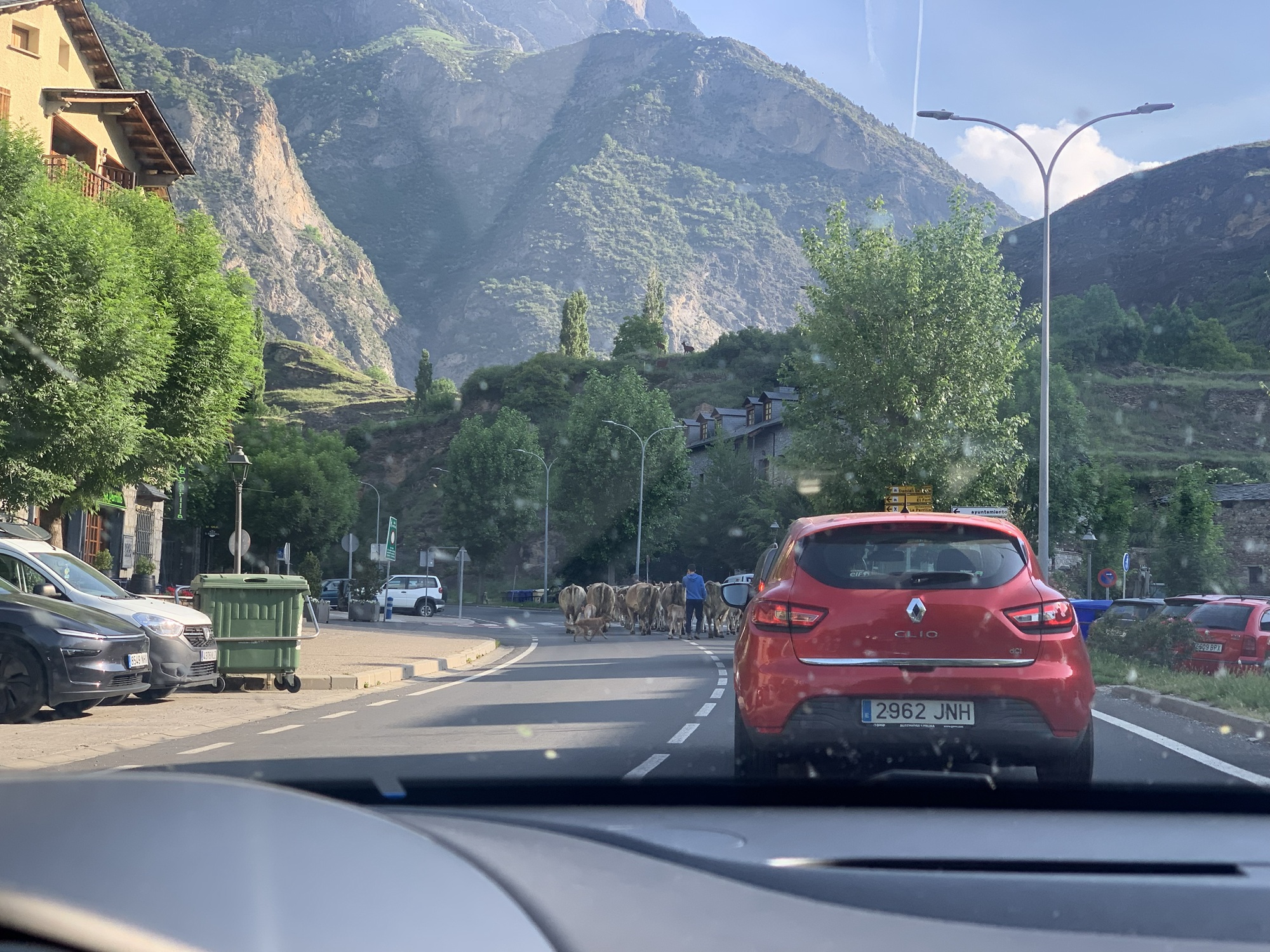


This hike would take place at a higher elevation than the previous day's. The starting altitude was 1,890 m, and the highest point would be just over 2,000 m. The route length was about 10 km.
We started the hike shortly before ten o'clock in the morning. Being higher than the previous day, we were above the tree line right from the beginning. The early part followed a gentle ascent along narrow, rocky paths. Again we saw small and slightly larger waterfalls. The scenery, however, was different from the day before — more dramatic. There was also some snow in a few places.


After about an hour and a half we reached a larger waterfall, and immediately after that a wide plateau where the path levelled out. The plateau was dotted with water everywhere — streams flowing down from the mountains spread across the open area. This meant we had to cross streams from time to time. Easier for me with high hiking boots; clearly more difficult for my partner, who used low shoes due to Achilles tendon issues. At least it added some entertainment as we hopped across the streams.
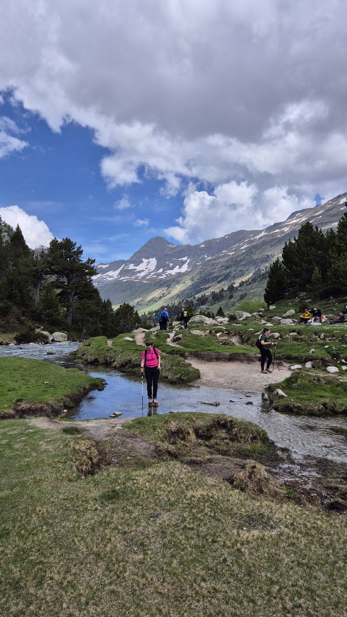
According to the Komoot route map, the trail would have climbed from the plateau toward a small lake, but that direction had a lot of snow and water crossings, so we decided to simply walk around the plateau and then return the same way.
This turned out to be a good decision — the watery plateau scenery was excellent, and the return hike felt pleasant. On this hike we saw many people carrying skis on their backpacks. Apparently above about 2,400 metres the skiing conditions were still good.
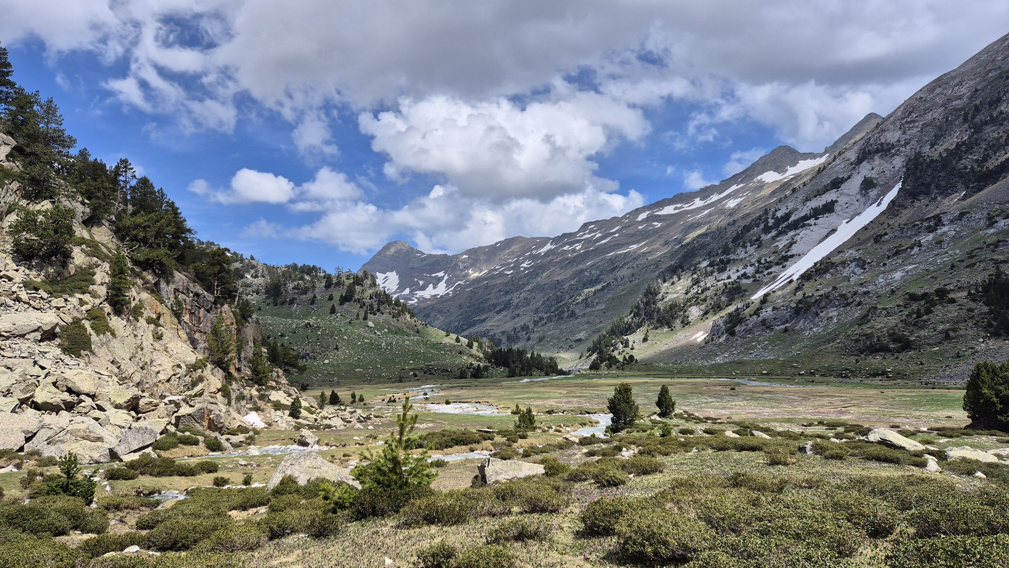

The hike took just over four hours and covered 9.1 km. Surprisingly little ascent — only 235 metres.

After the hike we were hungry, so we decided to eat in the village of Benasque on the way back, since Aínsa didn't have great restaurant options. The problem was that it was just after three in the afternoon, the village was almost deserted, and most restaurants were closed. Fortunately a place called El Meson was open, and the trout we had there was perfectly fine.

Then back to the accommodation to rest, and in the evening we went out for dinner again. We ate at the restaurant of our accommodation, whose breakfast had been good. Unfortunately the three-course dinner was a disappointment, especially the main course. The duck was more like a rubber duck — hardly anything edible. At least the chocolate dessert saved the experience a little.
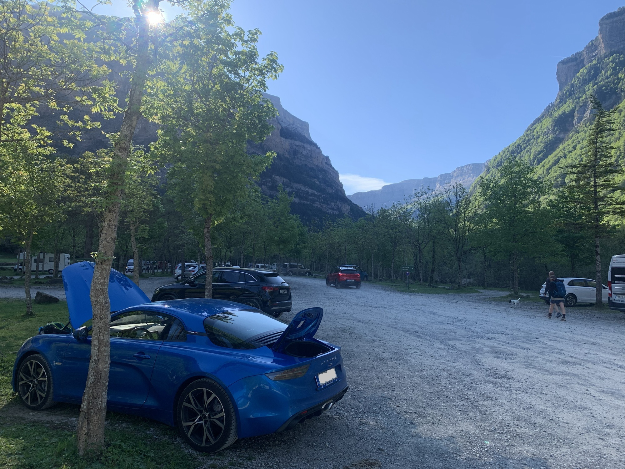
The weather forecast looked good, so we decided to do the Cola de Caballo hike that we had postponed from the previous day. The trailhead is in Ordesa y Monte Perdido National Park, in Ordesa. The drive there was once again enjoyable mountain road driving along N-260 and N-260a, taking about an hour. The parking area was large, and by nine o'clock it was already quite full. Clearly a popular place. The starting altitude was about 1,300 metres.

This would be the longest hike of our trip — about 20 km with over a thousand metres of ascent. Our plan was to take the more difficult version of the route, which would climb steeply right at the beginning and then follow a long, gradually descending section.
However, plans changed when the path leading to that version of the route was closed right from the start. Once again, our plans had to be adjusted. We set off along the easier route in terms of ascent, but roughly the same length, following the valley floor all the way to the Cola de Caballo waterfall.
The early part was a somewhat dull, gentle climb through forest. There were a couple of waterfalls that were nice enough, but compared to the previous days' waterfalls, nothing remarkable. We were at relatively low altitude, and it was warm. Fortunately the forest provided shade most of the time.


It took well over two hours before things got interesting. The forest ended and an open valley began. Around us were magnificent high mountains, snow-capped peaks, and tall narrow waterfalls cascading down the cliffs. A rewarding sight after a long, dull stretch.

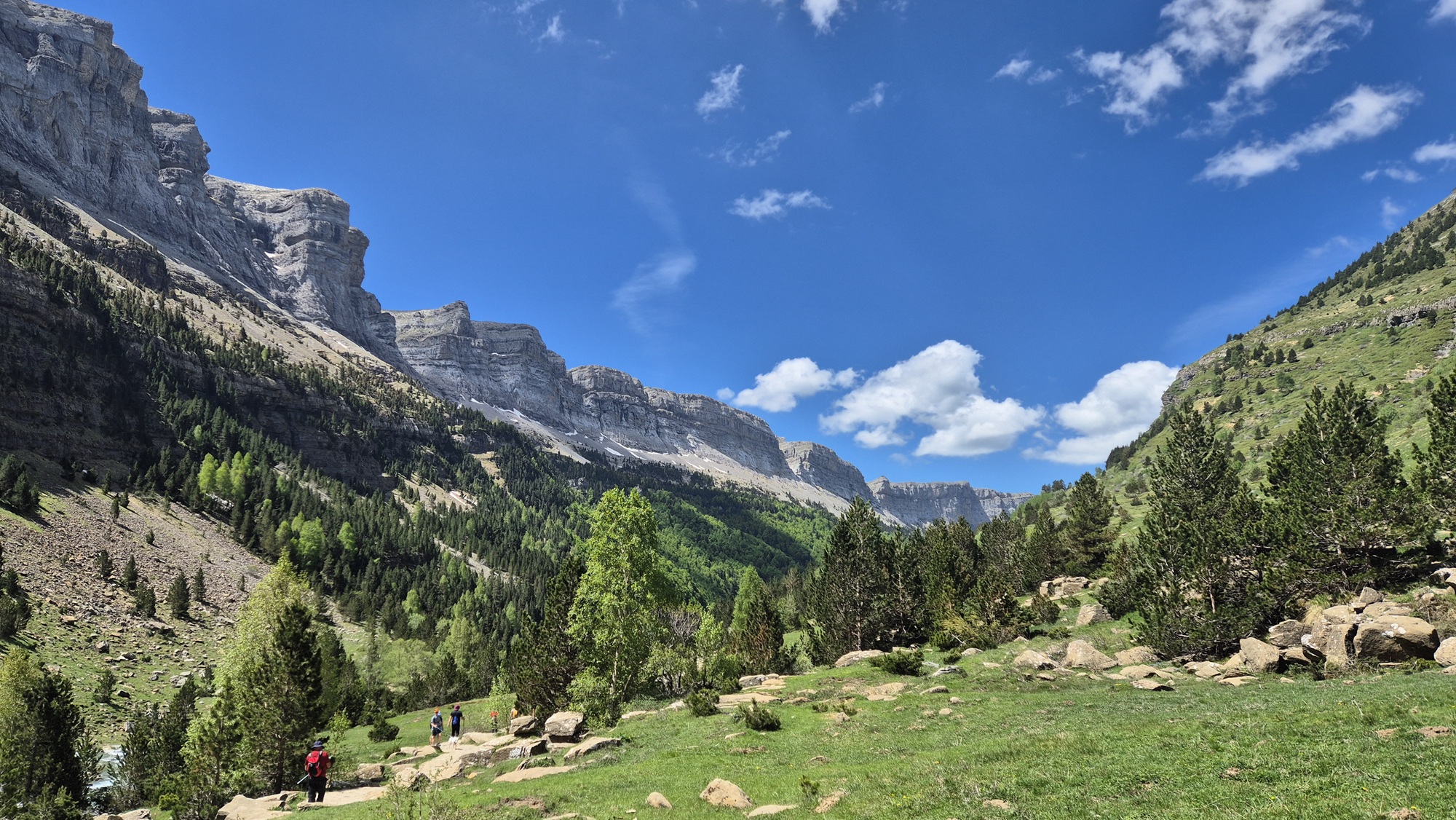

At the end of the valley the main reward awaited — the Cola de Caballo waterfall. From a distance it wasn't very visible because a rock formation blocked the view. But once it came into sight, it was well worth the effort. By this point we had been hiking for just over three hours, so we had certainly earned the view. The previous days' hikes were also starting to weigh on our legs, and the pace didn't feel very energetic.

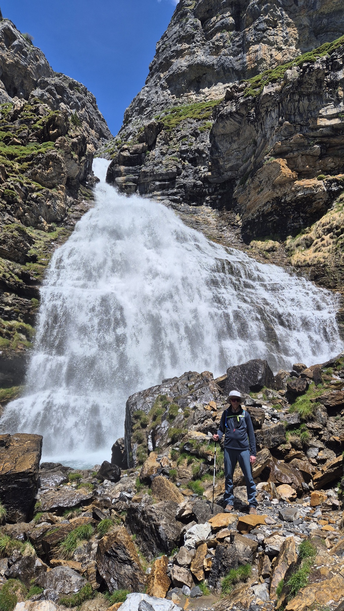
At the base of the waterfall we took a long snack break, and then headed back along the same route. Descending is, at least for my muscles, heavier than climbing, and the long distance slowly began to take its toll on my legs. It weighed even more on my partner's legs — at times she was clearly quite tired.

After six and a half hours and 20 kilometres we finally made it back. In true sports cliché fashion, we felt tired but happy. A real sense of victory washed over us once the hike was finally done. A cold drink and a warm meal tasted especially good at the restaurant near the trailhead.
After the drive back, the rest of the day was spent resting. I think sleep came easily again that evening.
A transfer day from Aínsa to Vielha. The previous days' hikes had taken a clear toll on our legs, so today we decided to do a very short hike of about 4 km called Artiga de Lin & Uelhs deth Joeu. This hike was close to Vielha but slightly beyond it, so we first stopped in Vielha to buy supplies, then continued past the town for lunch at a restaurant called Ballads. It was a bit more expensive than previous meals — €25 for a three-course menu — but the food was excellent and worth the price.
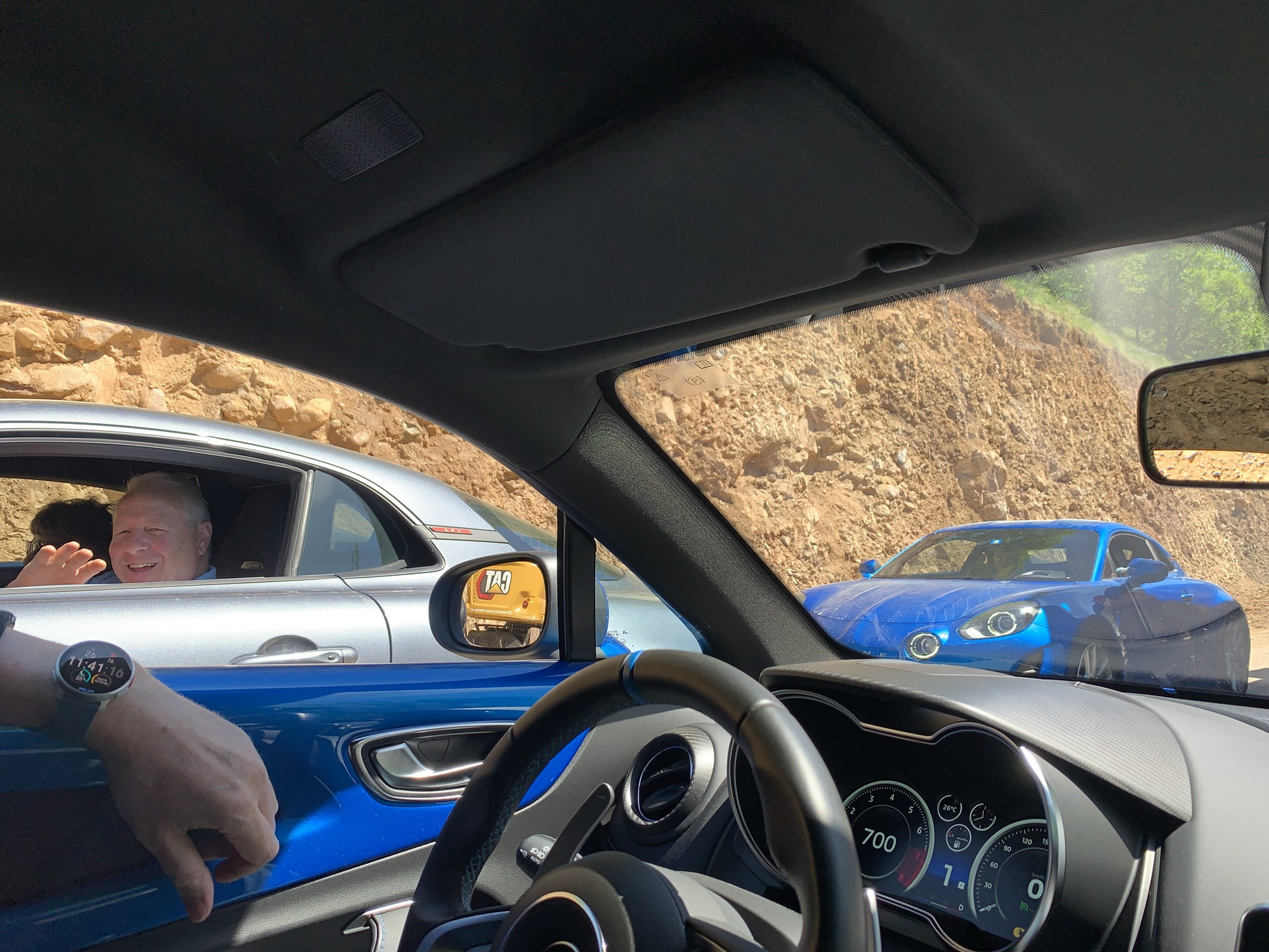
We began by driving along the familiar N-260. The section before Vielha was, according to the navigator, very slow — and the reason became clear during the drive. There were several roadworks where we had to wait for long periods, likely along road A-1605. The longest wait was around twenty minutes at a spot where workers were clearing large boulders from the road. The highlight of the drive was encountering a convoy of four Alpine A110s with Swiss plates at one of the work zones. We exchanged greetings.

Lunch was eaten after Vielha, and then we climbed a very narrow and winding mountain road to the trailhead, where it was extremely quiet. Besides us, there was only one other car in the parking area. We didn't see anyone else on the trail. Interestingly, all our hikes around the Vielha area were much quieter than those near Aínsa.
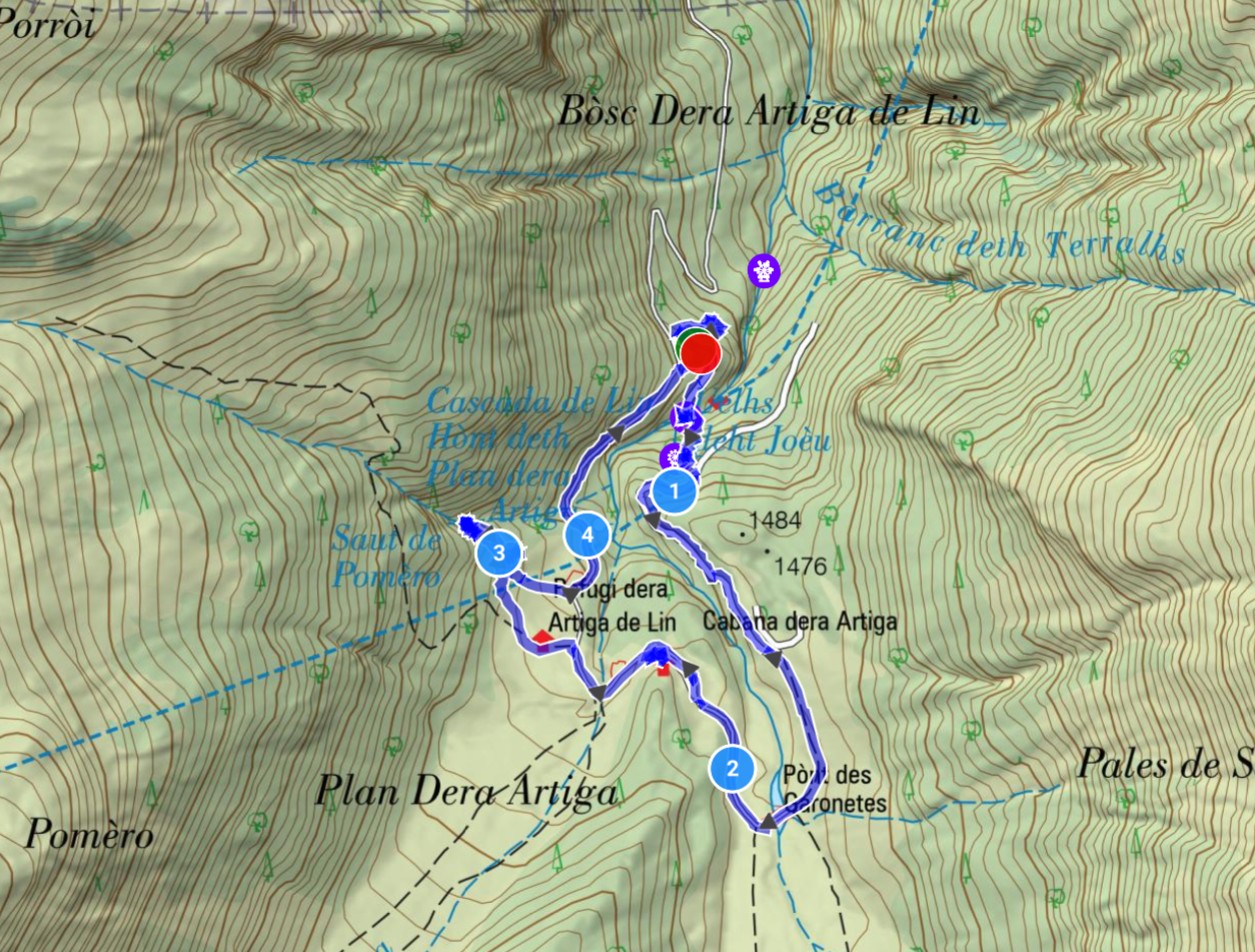
This was a very easy hike, which was exactly what we needed since our legs felt extremely tired after the previous three days. First we descended from the parking area to the nearby Uelhs deth Joeu waterfall. After admiring it for a moment, we climbed a short distance upward.

At the top we walked a small loop, passed one smaller waterfall, and then followed the roadside back to the parking area. A pleasantly restorative light walk — total time 1:39 h.
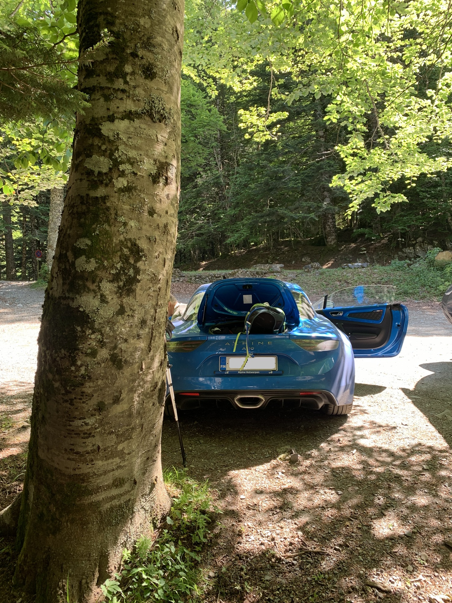
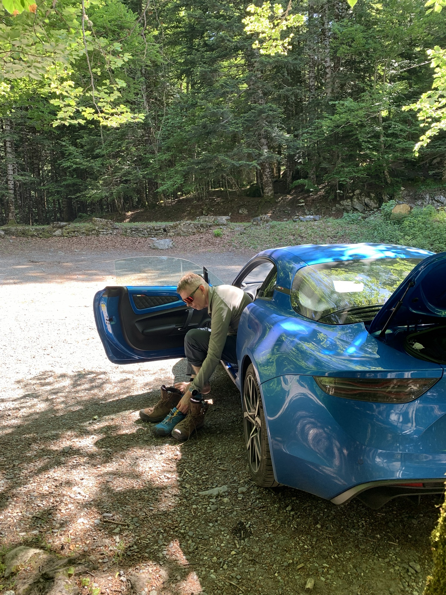
In Vielha our accommodation was an apartment called Eth Palai. Unlike in Aínsa, there was no air conditioning here, and the apartment became uncomfortably hot in the afternoons. Otherwise it was a nice place with a pleasant mountain view. Minus points, however, for the minimal amount of soap provided and for the parking gate occasionally not working — apparently the workers doing yard renovations had accidentally cut the power.
The town of Vielha felt more like a mountain village than Aínsa, and it had hiking/ski shops and similar services. A pleasant little town.

Dinner was at a small tapas place called Petit Limbo. The duck stew was delicious.
For this day we had planned another demanding hike called Colomers Lakes. We began by driving along road C-28, which was reasonably wide but, compared to other wide Pyrenees roads, had rather poor asphalt. Toward the end the road became narrow and winding again. We reached the trailhead shortly after nine. The parking area was fairly large but almost empty.

As the name suggests, the Colomers Lakes hike would include several mountain lakes. A long day lay ahead, but fortunately our legs felt better after the previous day's easy walk.
The beginning was a gentle ascent — first a somewhat rocky section, then easier path that partly followed a road.

After the easier ascent, a steeper rocky section began, ending when we reached the edge of the Colomers Lake area. At this point we couldn't yet see the lake itself, only the dam, as we were approaching from the opposite direction. We were now slightly above 2,000 metres, and in shaded areas we had to walk across patches of snow.


The high mountain plateau gradually revealed its beauty — and the small lakes that give the route its name. Beautiful, calming, and very quiet, as there were hardly any other hikers.
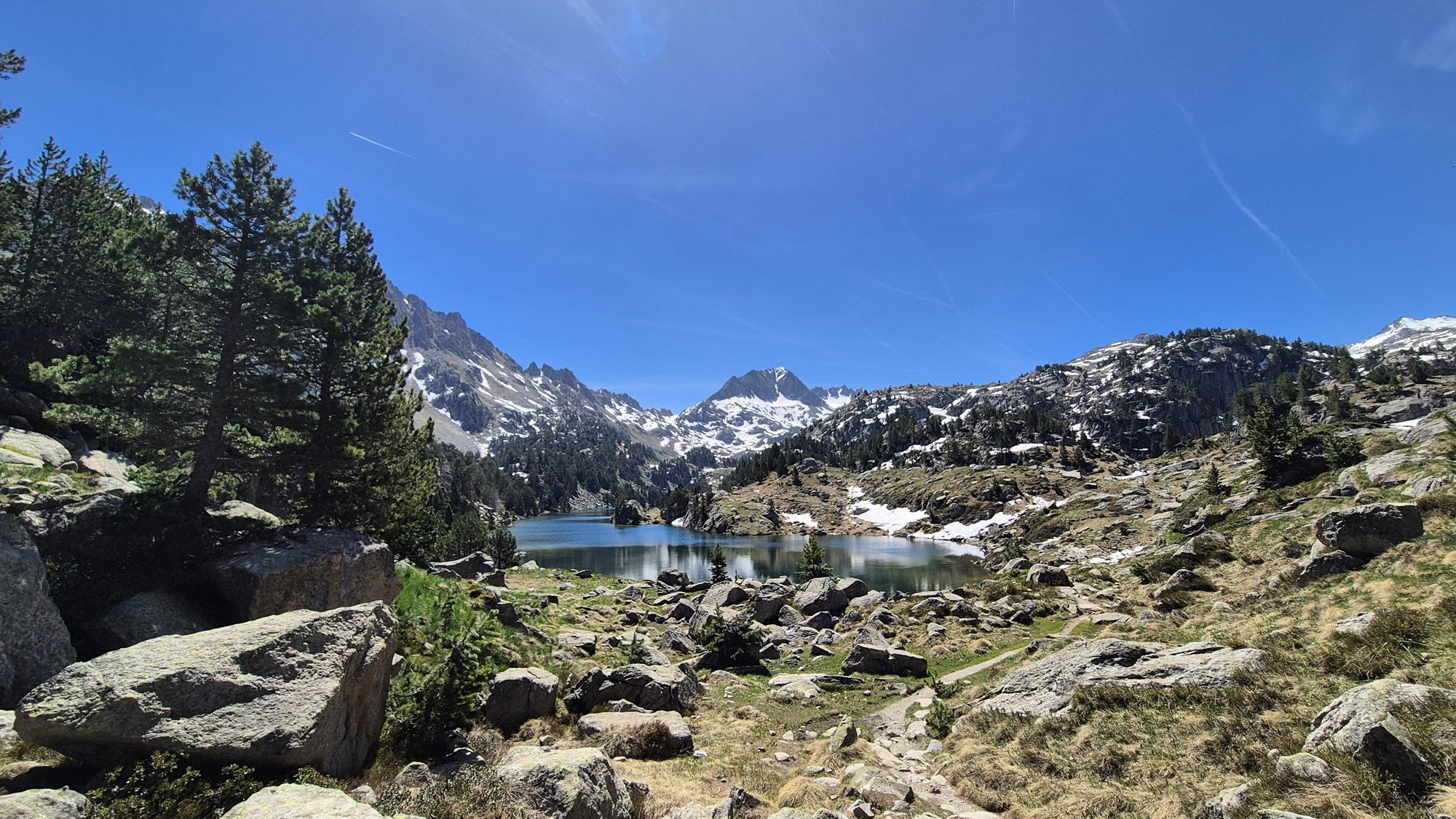


We made a long loop on the plateau at around 2,000-2,200 metres before arriving above Colomers Lake. On its shore stood the Refugi de Colomers hut, which in principle had a restaurant, but it was undergoing minor renovations. The person on site did, however, sell us cold drinks, which tasted wonderfully refreshing.
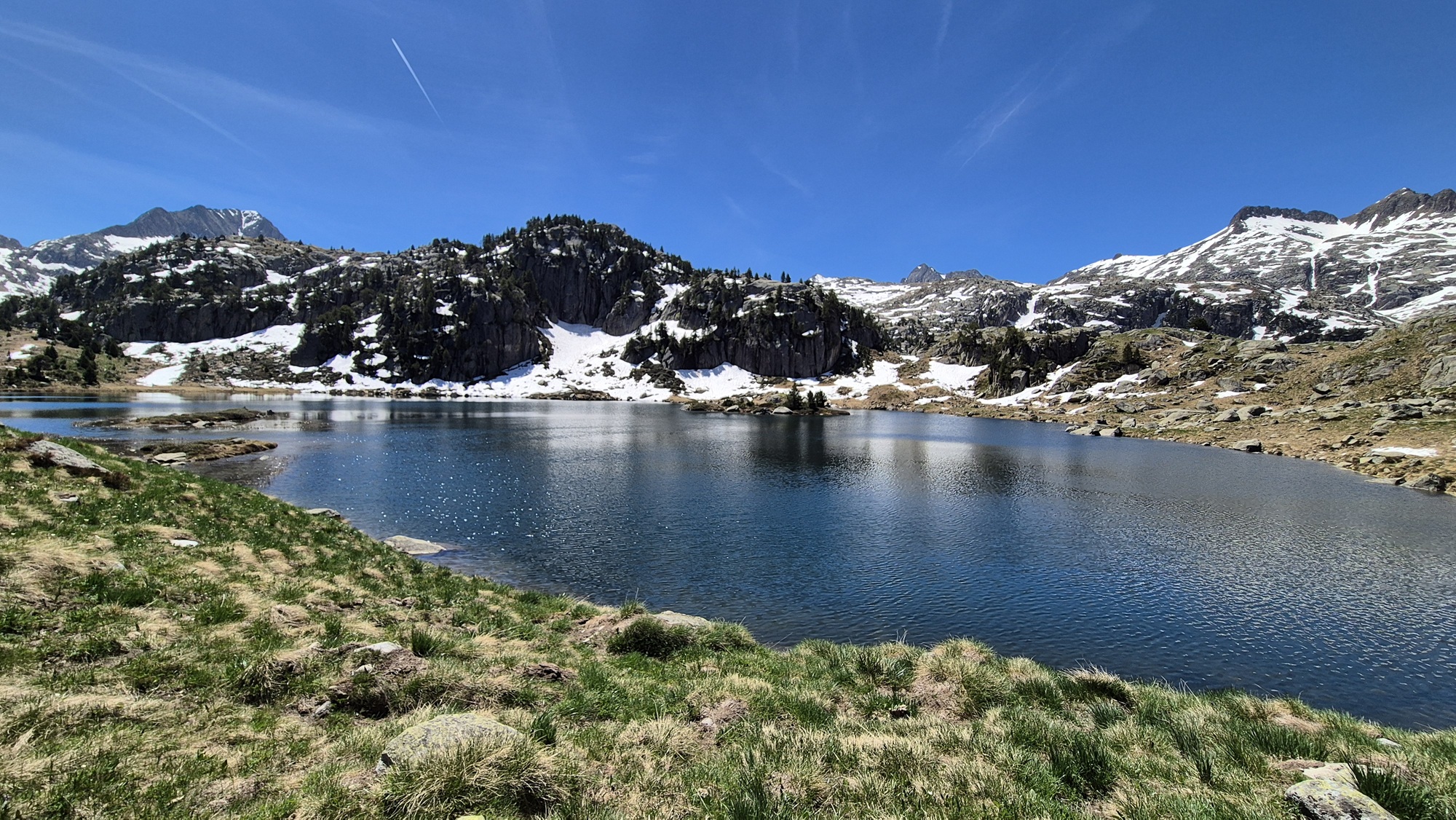


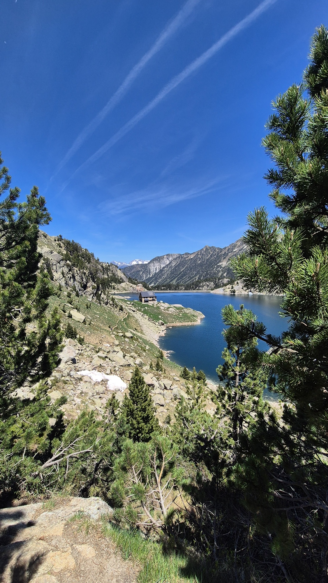


After the hut we crossed the dam to the other side of the lake, completing the loop. At this point we realised we had already been hiking for over five hours, and although our legs had felt fresh at the start, fatigue was now setting in heavily. There was still a long descent ahead back to the car, where we arrived after 7 hours and 50 minutes. This turned out to be a tougher hike than the longer Cola de Caballo (20.0 km vs. 16.1 km). A demanding day — but a truly magnificent one.
In the evening we were so tired that we didn't feel like going anywhere far, so we chose the restaurant next to our accommodation for dinner.
This would be our final hiking day in the Pyrenees. The previous day had been so demanding that we chose a lighter route for today. The distance would be around ten kilometres, but with very little elevation gain.
On the drive we passed a local ski resort village, and the starting point for the hike was at the parking area of the Pla de Beret ski centre. There was plenty of space and only a few cars.


This hike differed from the others in that it began with a descent and ended with an ascent. The elevation differences were modest, and the route followed a gravel road for most of the way. A relaxed outing. The destination and highlight of the hike was the Refugi de Montgarri, after which we returned via a slightly different route.


After Montgarri the only somewhat notable climb of the route began, though it was nothing compared to the previous days. The hike itself wasn't particularly special, but it was nice to complete it. The best moment came at the end, when we soaked our feet for a while in a refreshing mountain stream. It felt wonderful.


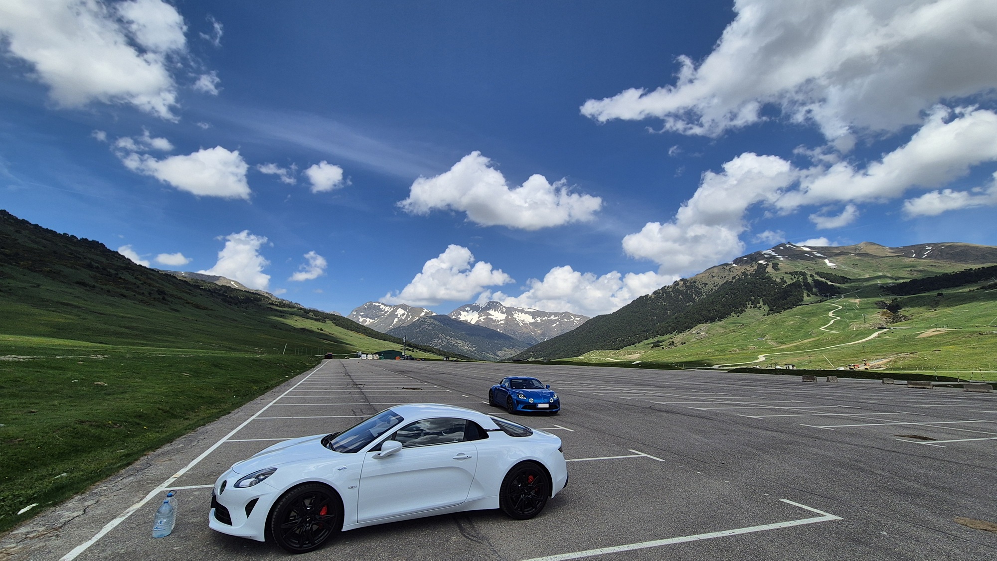
In the opposite corner of the parking area we found a pleasant surprise — a white A110 with French plates. Then it was time to drive the winding road back to Vielha.
Dinner was at the charming La Abuela restaurant in Vielha. The atmosphere was pleasant, as was the company. The food was okay, though not among the best of the trip.


In six days we completed six hikes totalling 73 km / 29 hours / 2,200 metres of ascent. Quite an effort — but an amazing experience.
The journey continued from the Pyrenees toward the Mediterranean via Andorra. We first took road C-28, and at the beginning there was still a chance to enjoy the Pyrenees' winding mountain roads. The road climbed to its highest point at the Bonaigua pass at 2,072 metres. Then came the natural descent — enjoyable driving, and the Alpine was once again in its element.
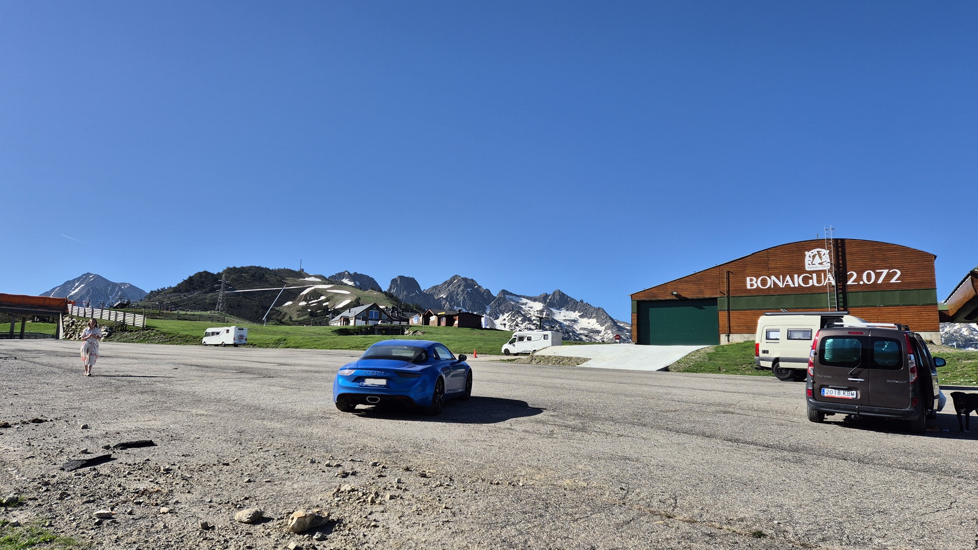
Up and down we went again, eventually reaching Andorra, where we stopped for fuel before continuing. Andorra was considerate enough to include uphill passing lanes on the serpentine roads — very handy!
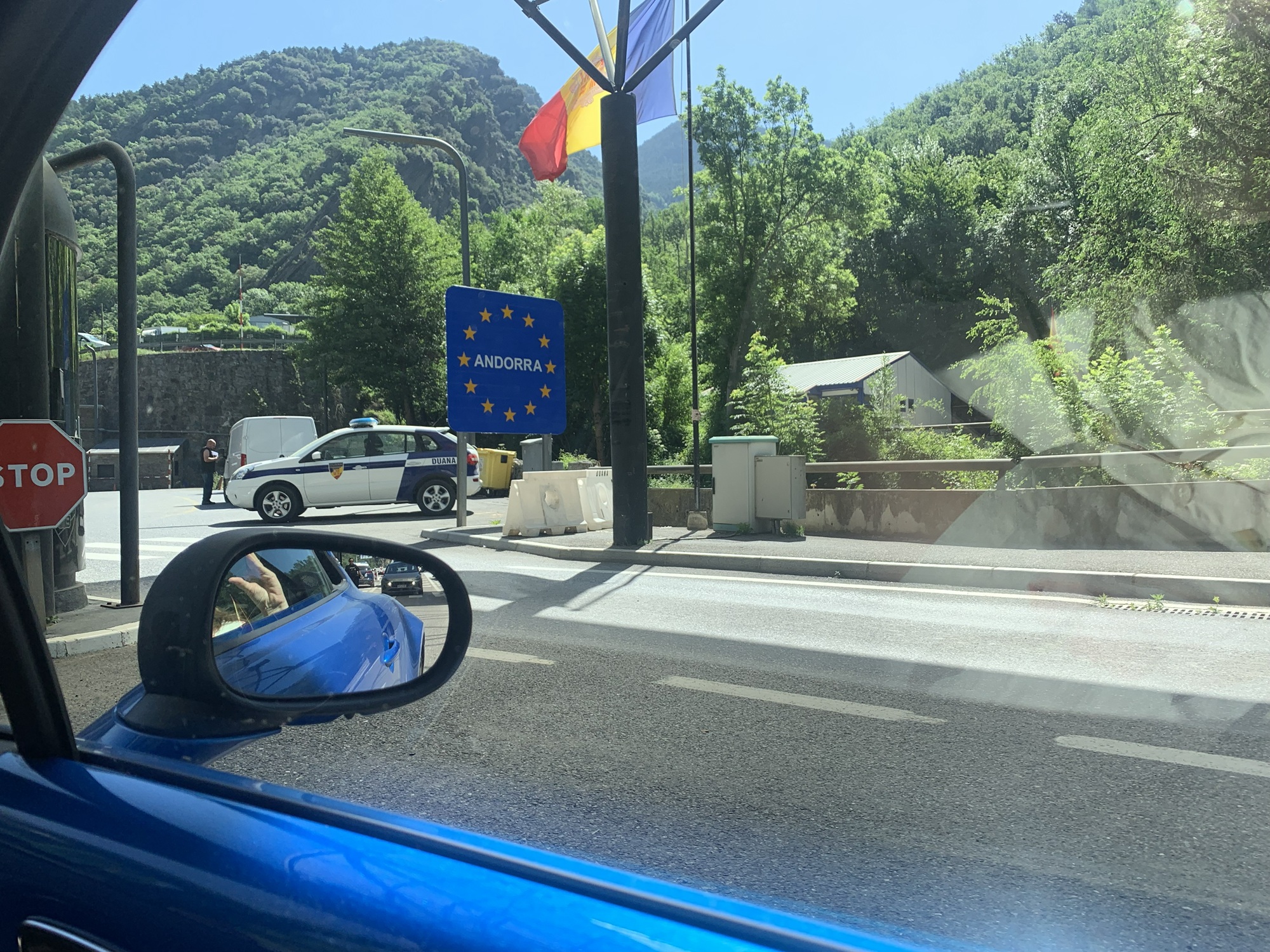
After the climb came the descent, which led us into France. The day was very hot, and the drive long. French villages and roundabouts became familiar once more. Gradually we approached the Mediterranean and the coastal town of Frontignan, where the scenery changed dramatically compared to the Pyrenees. Now we were on a short beach holiday.

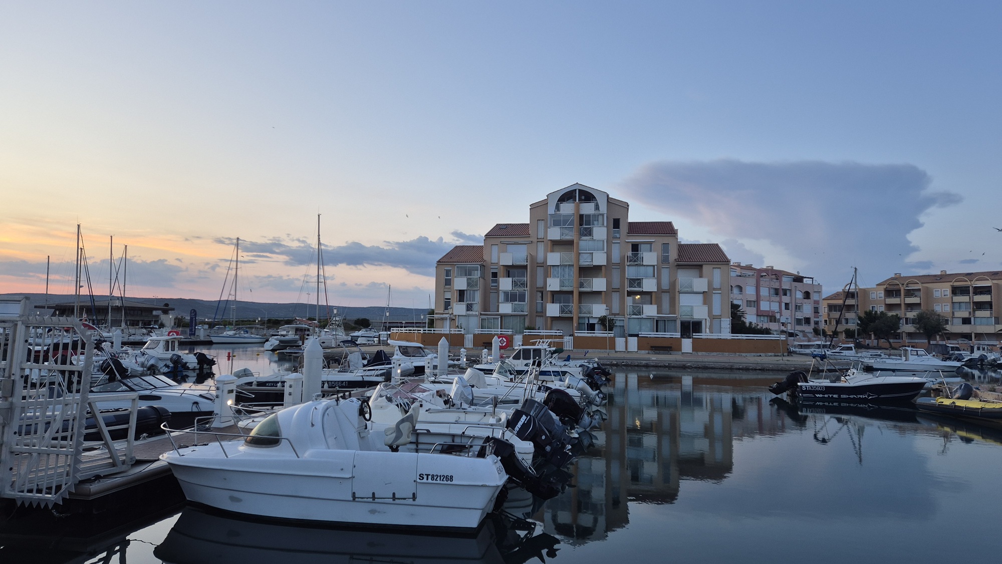
Our accommodation was a nice small apartment by the sea and marina. Lovely views here as well.

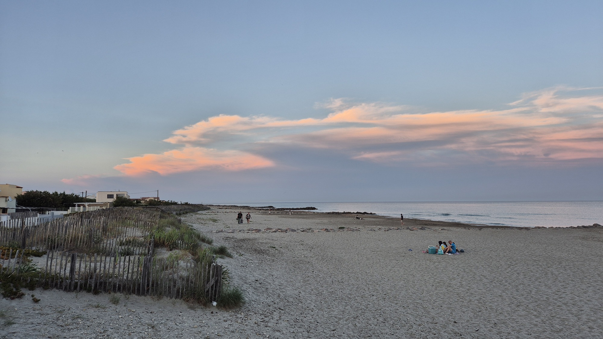
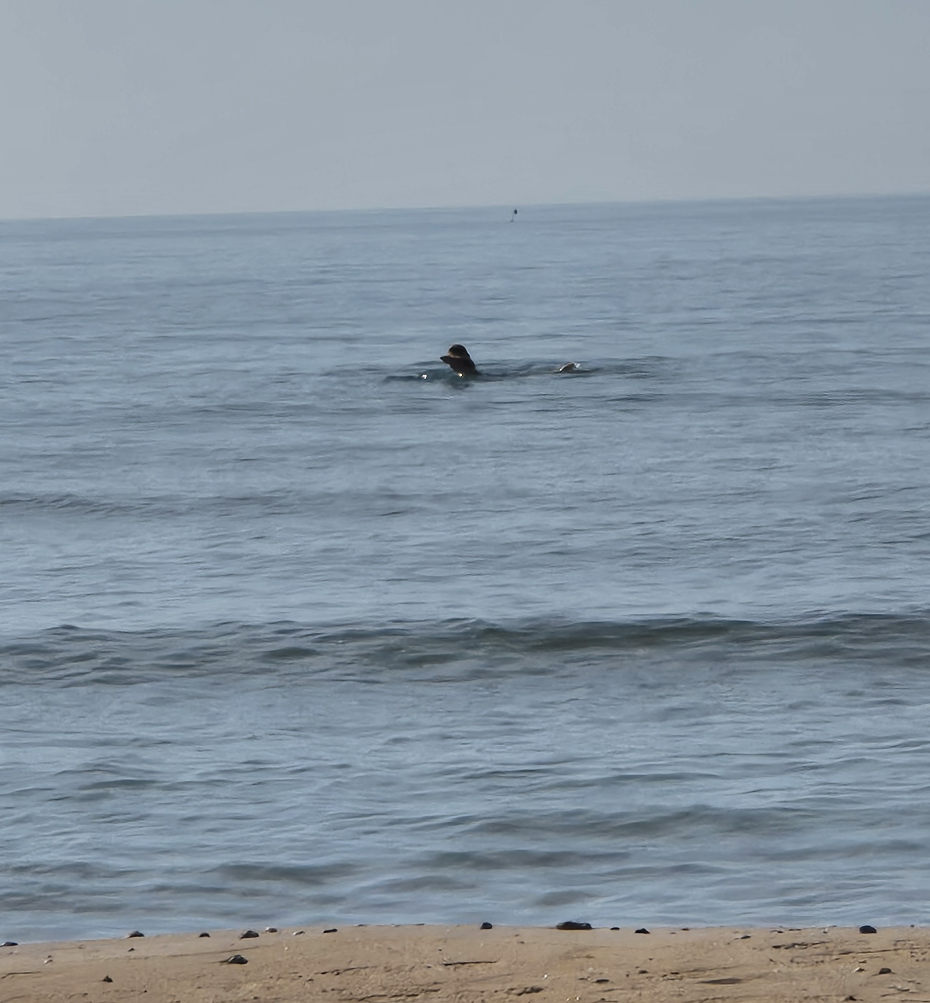
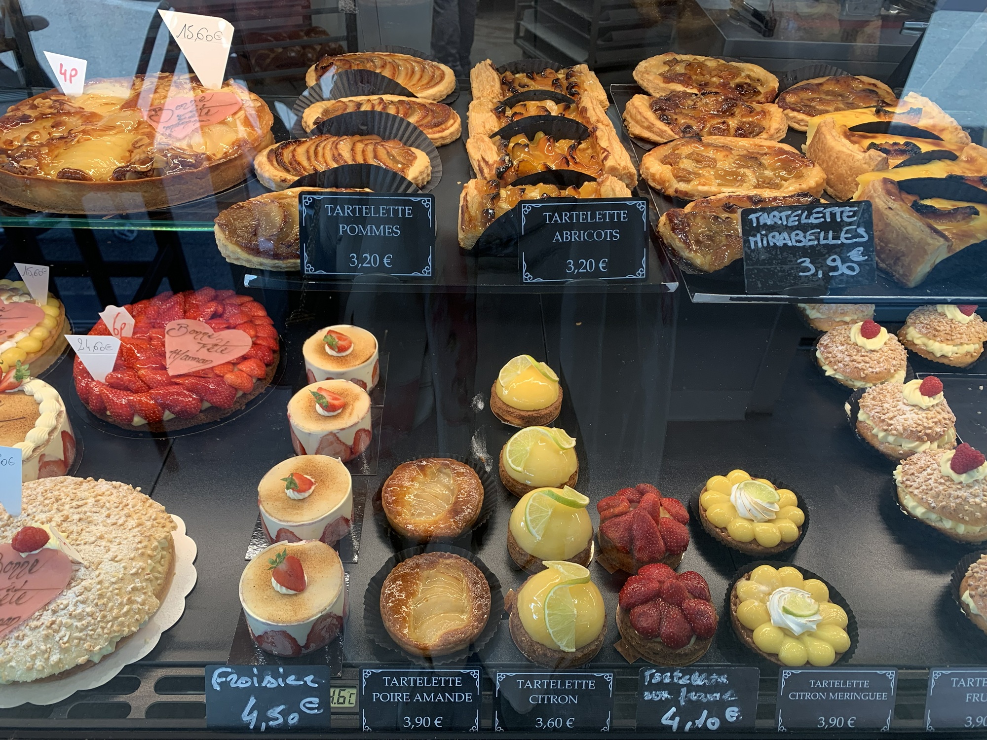
In the morning we headed briefly to the beach, where my partner had the chance to swim in the sea while I enjoyed the scenery from the shore. Then we packed the car again and, after a half-hour drive, stopped in Montpellier for a delicious breakfast at a local boulangerie. Montpellier had some intriguing pyramid-shaped buildings, which we admired for a moment before continuing.

The destination for the day was Domessin, where my partner's sister and her family live. She is married to a local man and has lived in France for a long time. This day was also hot, but sitting in an air-conditioned car made it pleasant enough.
The day's drive included plenty of small French roads, small villages, and roundabouts. Toward the end of the drive there were some enjoyable twisty sections as we approached the Alps.
The welcome in Domessin was warm. The house also had a swimming pool, which was perfect for cooling off after a long day. There was even a birthday cake for me — a lovely surprise.
A relaxing rest day would have been tempting for the next day, but when the host, Benoit, suggested that he and I go for a small hike in the Alps to enjoy the Sunday, it was an offer I didn't want to refuse.
An early wake-up, and off we went with Benoit toward the starting point of the hike, while the ladies stayed behind to enjoy a relaxed Sunday. The drive took about an hour, and soon we were in the Alps. The starting point was apparently called La Plagne — I was simply sitting in the passenger seat without knowing where we were headed.


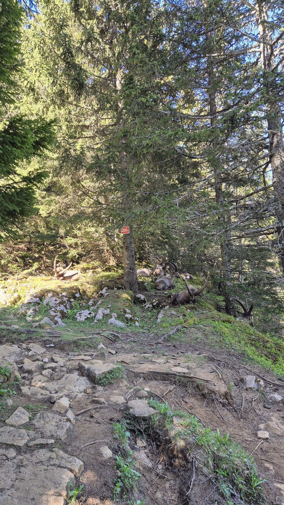
The hike began with a long, steady climb on a wide, rocky path. After climbing for a while, the slope eased and we walked along an easier section. Along the way we saw a few deer-like horned animals resting in the forest just beside us. According to Benoit, he had never seen such animals from that close before.

After the easier stretch came another steeper section, which eventually brought us to the summit of a mountain just over 1.8 km high — apparently called Le Pinet. From the top there were beautiful views toward the higher snow-capped Alps, including a view of Mont Blanc, the highest mountain in Europe.


A short snack break at the top, and then a brisk descent. On the way down we saw more of the same animals as earlier — an interesting sight.
The final steep downhill section was felt in the legs, but it was great to do a hike in the Alps as well.
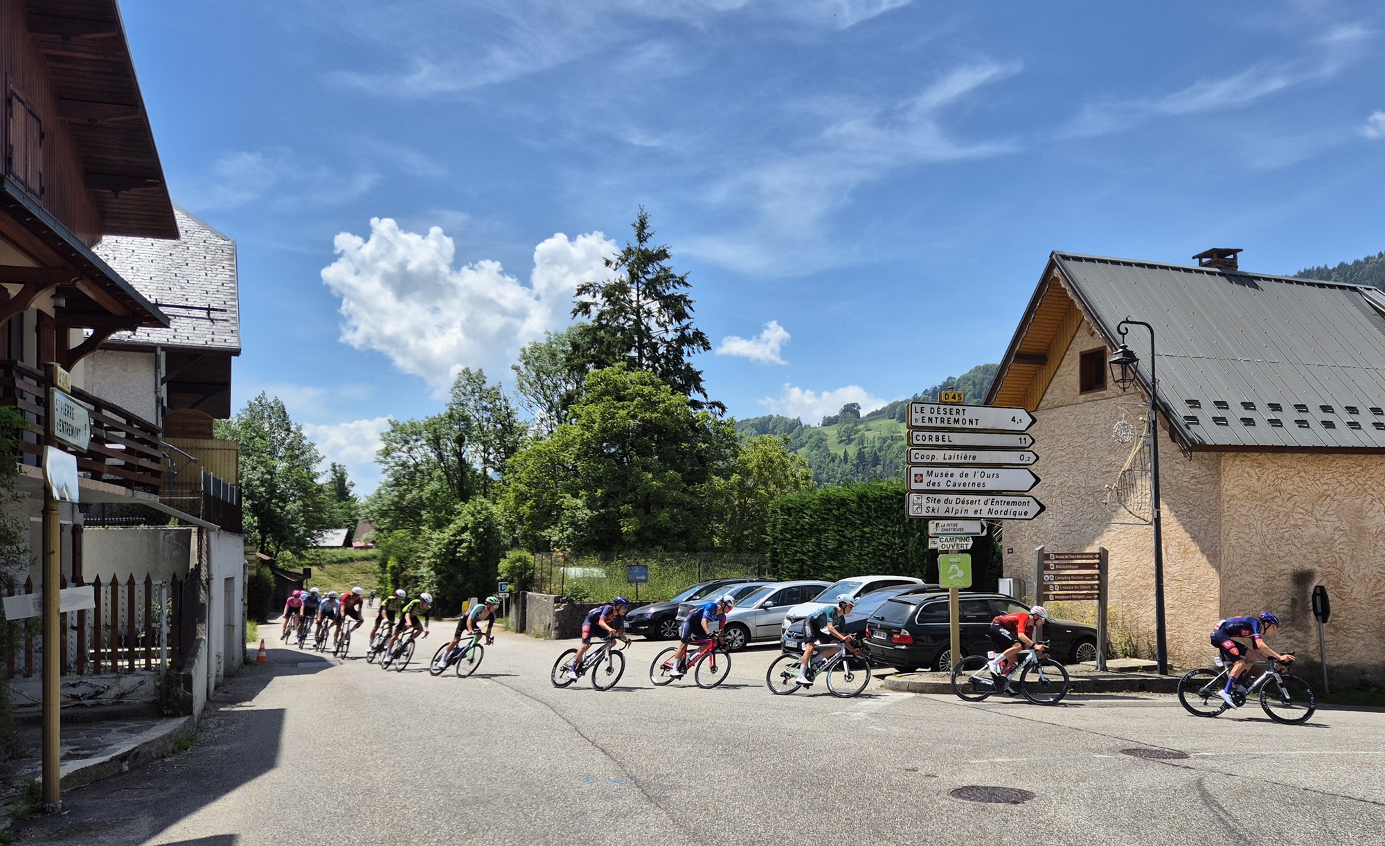
On the drive back we had to wait for a while in one village because the road was closed due to a cycling race.
The rest of the day was spent relaxing and enjoying the hospitality of the household.
This morning the Alpine had a scheduled service appointment in Annecy, about an hour's drive from Domessin. Because the car needed to be at the service centre by nine, I temporarily disabled the “avoid toll roads” setting in the navigator. The motorway drive to Annecy cost seven euros, though it wasn't very fast — due to an accident we crawled in traffic for about half an hour.
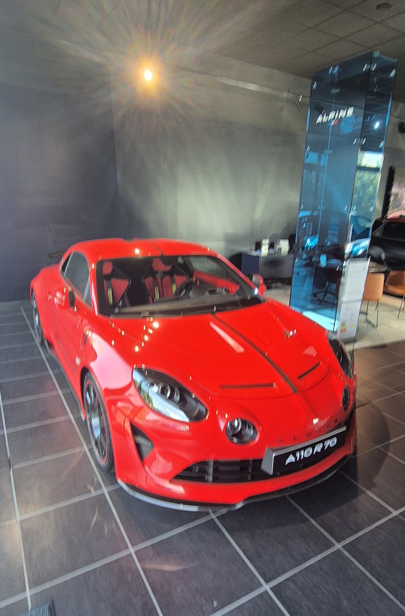
The service experience at Alpine Store Annecy was very pleasant. This was the first time the service reception was dedicated solely to Alpine — not shared with Renault/Dacia. We were offered coffee generously (though I don't drink it), and they also promised to wash the Alpine, which had gotten quite dirty during the trip.
We spent the day exploring Annecy's sights. The city was beautiful, as was the lake of the same name. Definitely worth a visit.


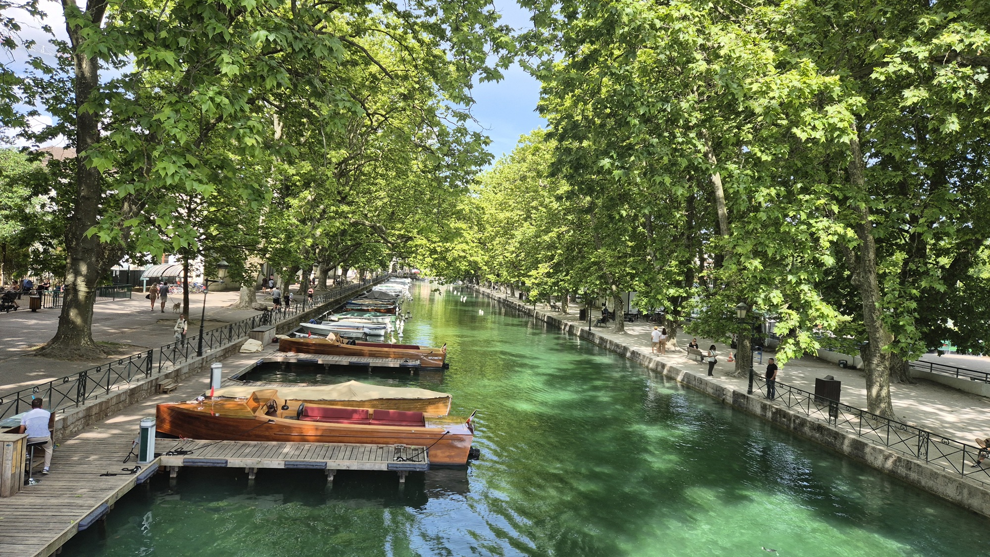

In the afternoon the car was ready. The service cost €811, and this time the gearbox oil and brake fluid were changed in addition to the usual maintenance tasks. The car looked clean again after being washed inside and out. All in all, the service experience was very pleasant.

Since we were in no hurry, we drove back to Domessin via small roads — and it was absolutely worth it. The experience was far more enjoyable than the morning motorway drive.
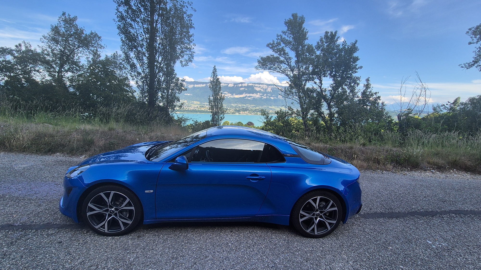
This day was a genuine rest day, and we didn't go anywhere. For me, it was good recovery before the return journey.


From here on I continued the journey alone, as my partner stayed with her sister for another week.
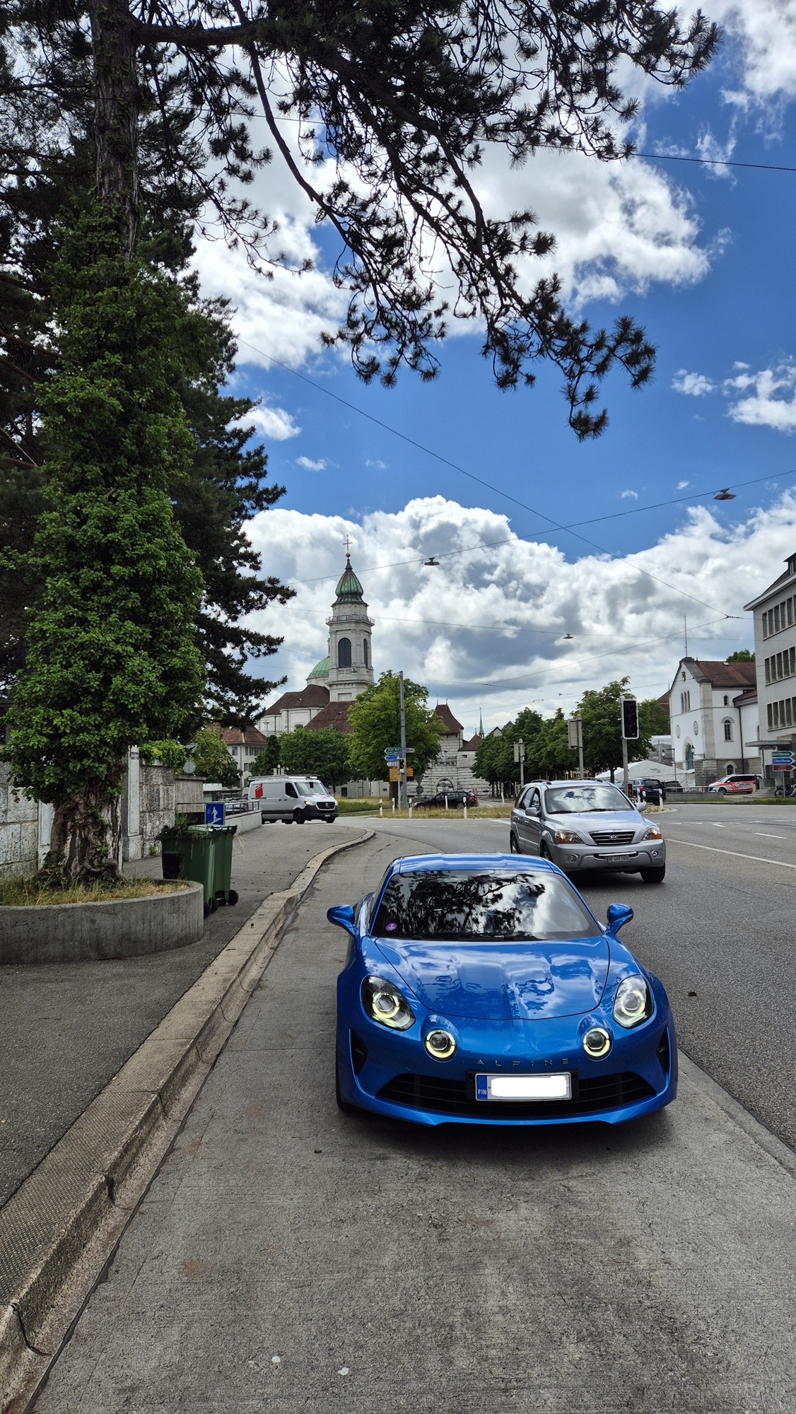
A long driving day. First a stretch in France, then across Switzerland on smaller roads so I wouldn't need to buy a Swiss motorway vignette. The transition from France to Switzerland was noticeable mainly because the road signs changed and the villages became tidier — there was no other indication of the border. Oh, and I also noticed I had entered Switzerland because, for some reason, my phone's internet stopped working and I couldn't get it back despite trying. This made using Google Maps difficult, so I had to rely on the car's built-in navigation.
Switzerland turned out to be surprisingly dull to drive through. Lake Geneva was beautiful, but otherwise the drive across the entire country felt like a chore. Once I crossed into Germany, it felt like returning to civilisation when the internet started working again.
In Germany my plan was to drive through the Black Forest. On this day, however, I only drove a short distance before reaching my accommodation, Gasthaus Kalte Herberge, at about 1,000 metres of elevation near Titisee-Neustadt. I arrived around six in the evening, having left at eight in the morning. A long day behind the wheel indeed.
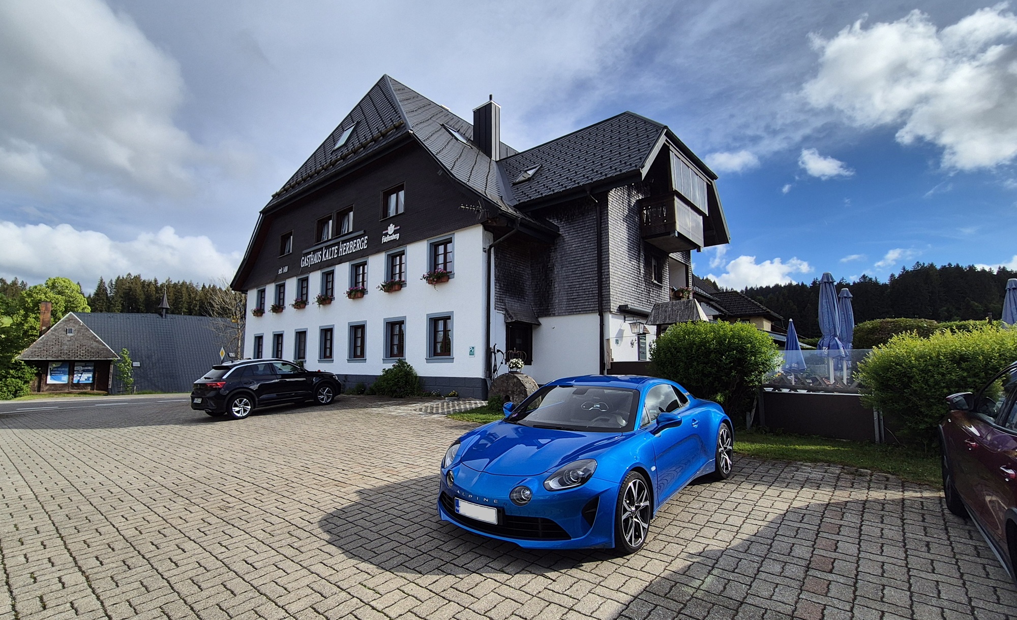
Dinner at the guesthouse restaurant, then rest.
Another long driving day ahead. The Black Forest is home to the famous B500 road, which is said to be a great driving route. I planned to follow it for the first part of the day. The scenery was impressive here as well, and at times I got to enjoy some very pleasant twisty sections. The roads were mostly smooth and fast, though there were also some tight serpentine stretches.

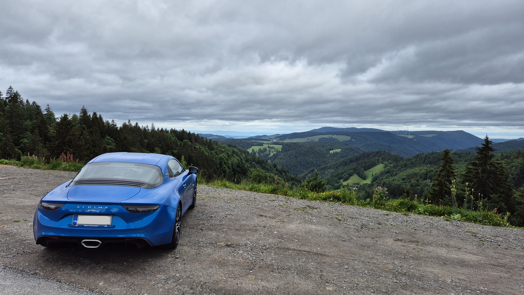
Along the way I stopped at the Triberg waterfalls and at Lake Mummelsee.


The southern part of the Black Forest was more enjoyable to drive than the area closer to Baden-Baden. In the south the speed limits were 100 km/h and there was less traffic. On the more famous section of the B500 between Freudenstadt and Baden-Baden, the speed limit was at most 70 km/h and traffic was heavier, so it wasn't particularly enjoyable from a driving perspective. The scenery was still great, though.
A late lunch in Baden-Baden, then the final three hours on the autobahn to Fulda. Rain started in Baden-Baden and continued on and off for the rest of the day. The heatwave was over.
In Fulda my accommodation was the very pleasant Villa Haag apartment. In the evening I still had enough energy for a walk in the city despite the rain, and for dinner at a local Moroccan restaurant.

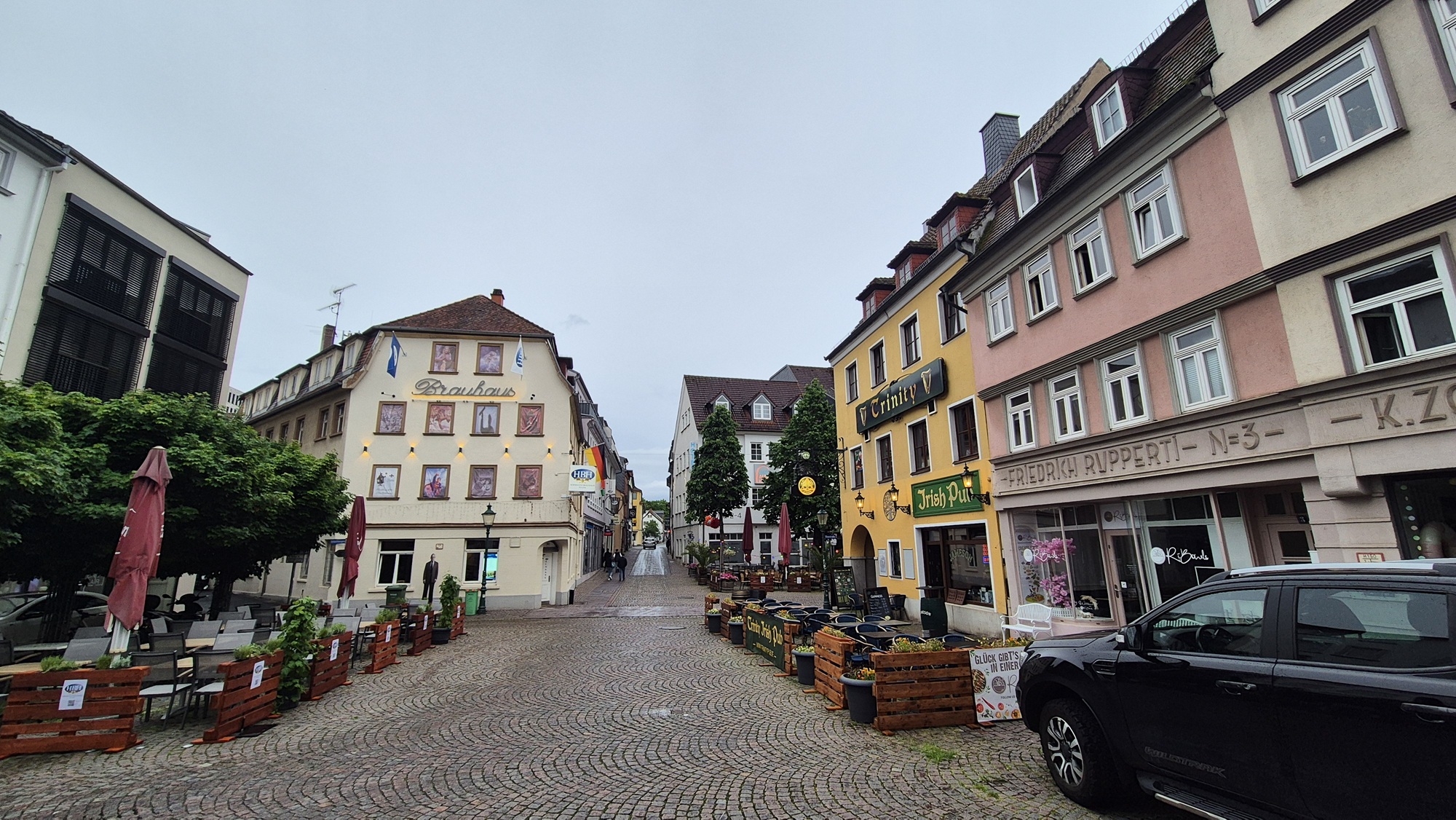
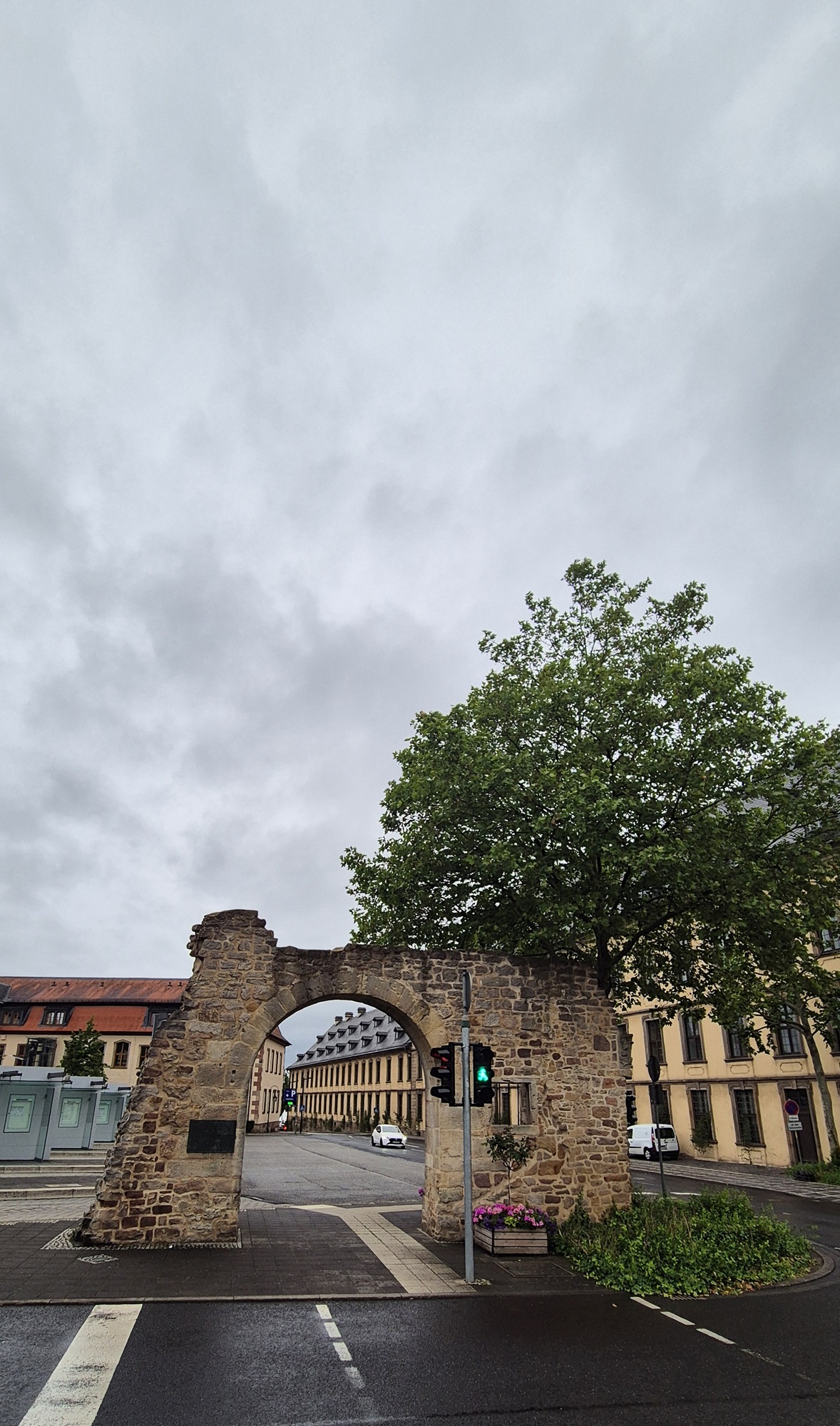
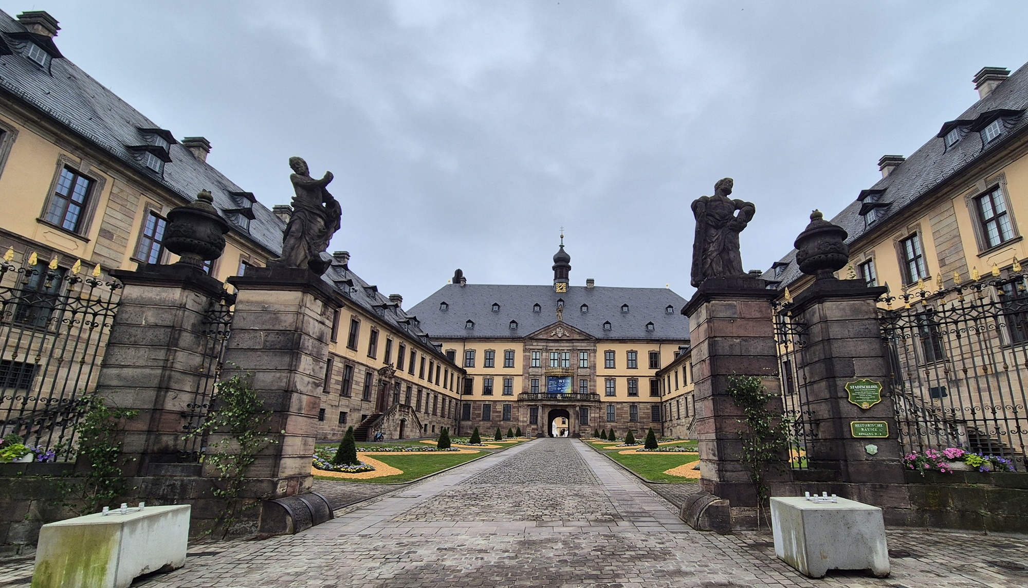
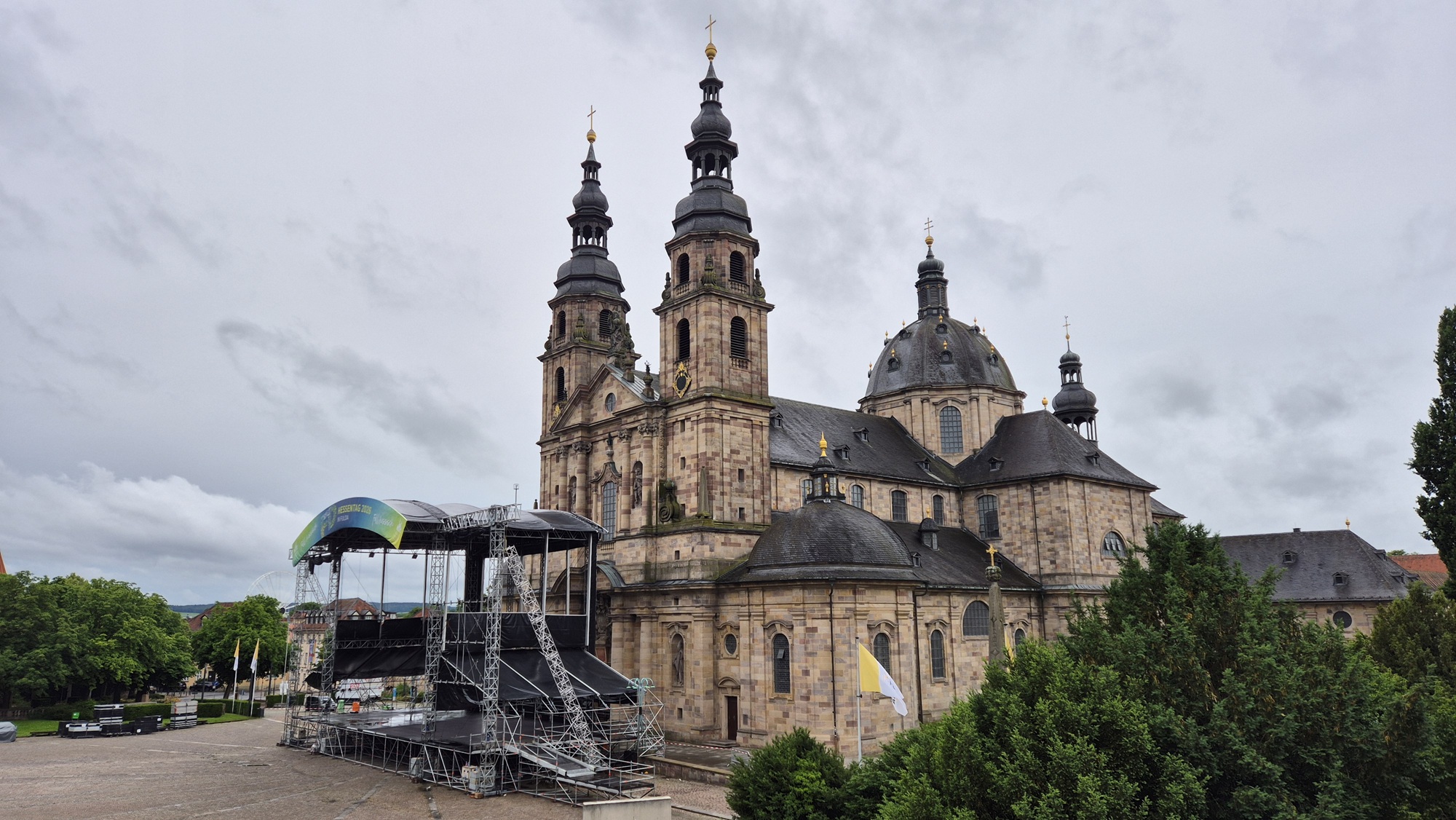
For this day I planned a bit of an extra loop, since I only needed to be at the Travemünde harbour late in the evening, and the fastest route from Fulda would have taken only about five hours. Apparently I still hadn't driven enough, so I added a zig-zag detour through the Harz Mountains.
There were twisty sections in the Harz as well, but the roads and scenery didn't quite match those of the Black Forest.

The most dangerous moment of the entire trip happened on this last driving day in the Harz Mountains, when a couple of reckless motorcyclists — whose life expectancy is clearly short — showed their stupidity. They were overtaking a car on a very short straight just as I came around a bend in the opposite direction. Emergency braking saved the situation, and the bikers gained a bit more life expectancy as they barely managed to slip back between the cars. I always stay strictly in my lane on blind corners, so fortunately I was exactly where I should have been. The speed limit was 100 km/h, so there was enough speed involved to make it a close call. Extremely foolish and dangerous behaviour from the motorcyclists.
From the Harz Mountains I headed north. I stayed off the autobahn except for the final 50 km.
I arrived at the Travemünde harbour at ten in the evening — a full day of driving. The harbour was already familiar, as this was my fifth year in a row coming here.

After eleven I boarded the ship and went to sleep.
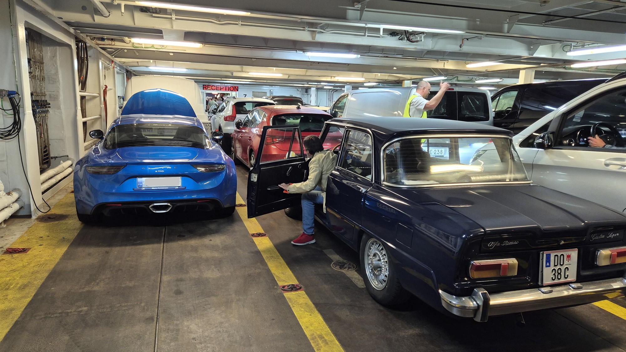
A day at sea without internet. A good opportunity to relax and write this travel diary.

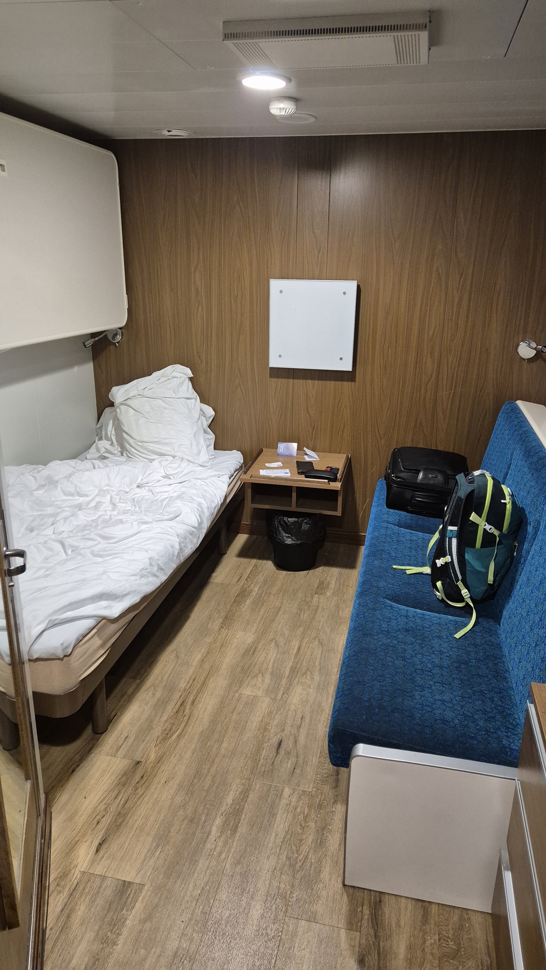
The ship arrived in Helsinki's Vuosaari harbour at 10 in the morning, and then it was just the final stretch home to Hollola. The trip had been wonderful — but after more than three weeks on the road, it was also nice to return home.
In numbers, the trip looked like this: 23 days, 5,500 km of driving, 6 countries (Germany, Belgium, France, Spain, Andorra and Switzerland). Fuel consumption totalled 437 litres, which meant 8.0 l/100 km (7.5 l/100 km according to the trip computer), with an average speed of 61 km/h. Fuel cost 830 euros, and the entire trip came to just under five thousand euros (+ the car service on top). As for hiking: 7 hikes, 84 kilometres, 3,035 metres of ascent, and 33 hours on the trail.
How about in non-numerical terms?
Short version: an amazing trip.
Longer version:
The trip was long — and demanding too, with plenty of driving and the added strain of the hikes. But the experience was truly fantastic, and the journey included a bit of everything. At one moment we were exploring French châteaux and driving through small French villages; the next we were hiking in the beautiful Pyrenees and enjoying the superb mountain roads. Then suddenly we were on the Mediterranean coast, before once again winding along French backroads. We enjoyed warm hospitality in Domessin, squeezed in a hike in the Alps, and finally crossed Switzerland and Germany on the way home.
A lot happened on the trip. My personal highlights were the following.
Château de Chambord was a huge and impressive place — one that really stayed with me.
The Pyrenees were a fascinating experience, with scenery that felt a little different from the Alps. In terms of driving enjoyment, I actually prefer the Pyrenees: traffic was noticeably lighter than in many Alpine areas based on my previous experience there, and the road quality was generally excellent. One of the most memorable driving moments was crossing the Pyrenees from France into Spain — a spectacular day behind the wheel. Another standout was driving through an extremely narrow canyon somewhere in the Pyrenees. A fantastic stretch of road.
Of the individual hikes, the two that stood out the most were the first ones — Llanos de la Larri and Forau d'Aigualluts — as well as the Colomers Lakes hike. The highlight of Llanos de la Larri was the powerful waterfall that gives the route its name, while Forau d'Aigualluts impressed with its beautiful flowing waters on the high plateau. The lake plateau at Colomers was truly stunning. And of course, the sense of accomplishment at the end of a demanding hike is something that stays with you.
Overall, what I'll remember most from the Pyrenees — besides the excellent twisty roads — is the water and the waterfalls. They were magnificent, and late May was a perfect time to see them. The winter had apparently been snowy, and with the warm weather during our visit, there was plenty of meltwater, making the waterfalls especially dramatic.
I can warmly recommend the Pyrenees. A fantastic experience!
My partner was excellent company, which made the trip even more enjoyable. It was great to travel together and share the experiences.
The weather was kind to us as well. In the Pyrenees, May can easily be rainy, but during our stay it was completely dry. The heatwave did bring temperatures that were a bit too warm for my taste, but overall the weather worked out well.
The Alpine was absolutely brilliant for a trip like this. It was a joy on twisty roads, yet perfectly capable of covering long days on all kinds of routes. The bucket seats, which might look uncomfortable, are actually very pleasant even on long drives. One advantage of the Alpine is its small size — it's easy to manoeuvre on narrow mountain roads and through tight city streets. You do have to think about what to pack, but we managed just fine for a three-week trip with two people. And the Alpine performed flawlessly the entire way.
Très bien, muy bien — in other words, absolutely worth it.
18 April 2026
This year, March was exceptionally warm, and spring advanced at a remarkable pace. So I went to pick up the Alpine from its winter storage unusually early.
The pickup trip took place on the last Saturday of March, 28 March 2026. That morning I hopped on a bus in Lahti and arrived in the afternoon in my hometown. The bus stops at the local petrol station along highway, from where I had planned to walk the 8 km to my home place. Fortunately, an old friend and neighbour happened to be at the petrol station, and I conveniently got a ride home with him. Handy!
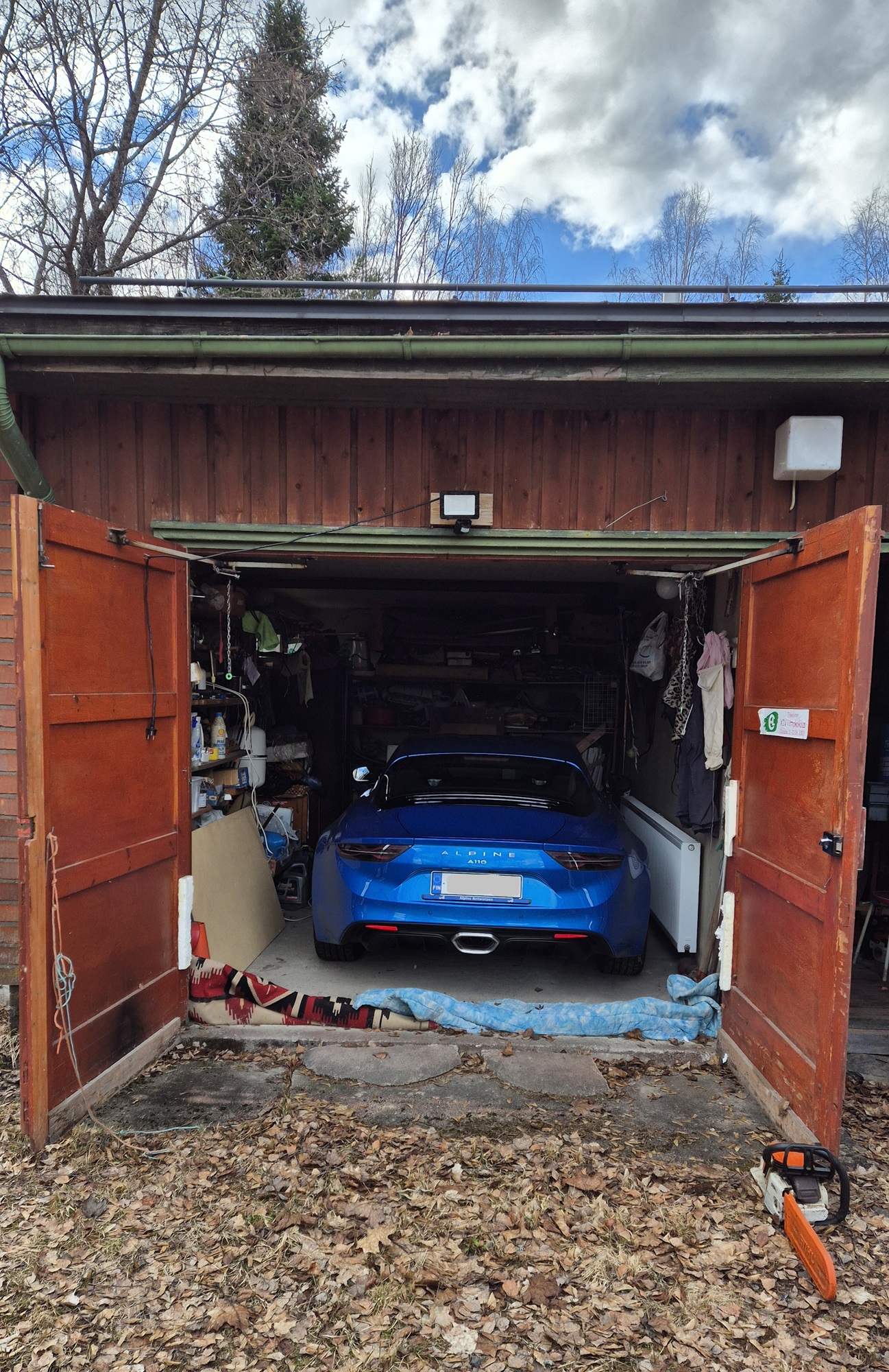
The Alpine had been on a CTEK maintenance charger this winter as well, and once again it started up without any issues. There was no snow at all at my home place, so it was easy to drive the Alpine out of the garage and head out on the road.
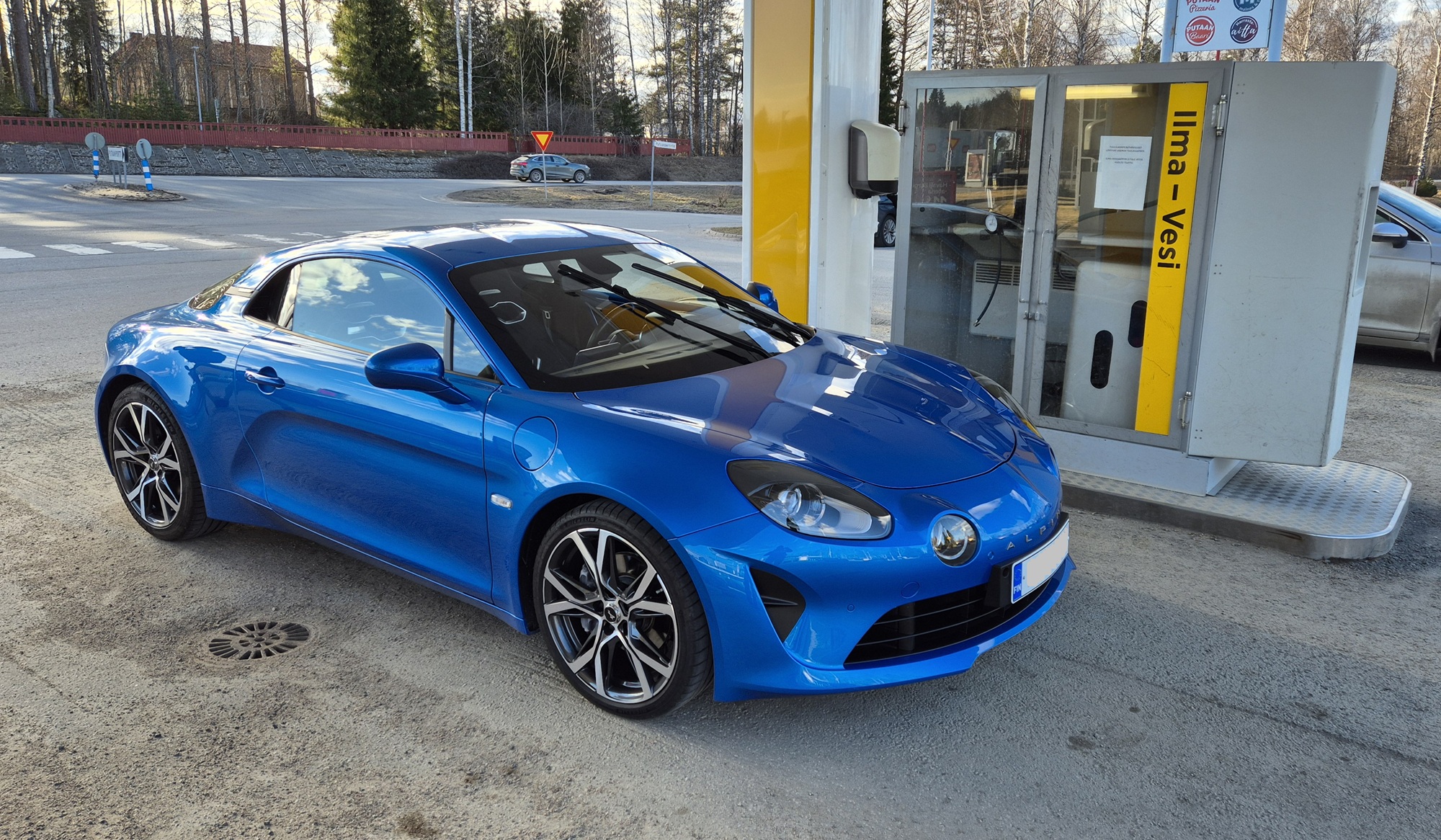
The driving conditions were excellent, but it turned into a long day, as I arrived back home in Hollola after nine in the evening, having been on the move for more than a full twelve hours.
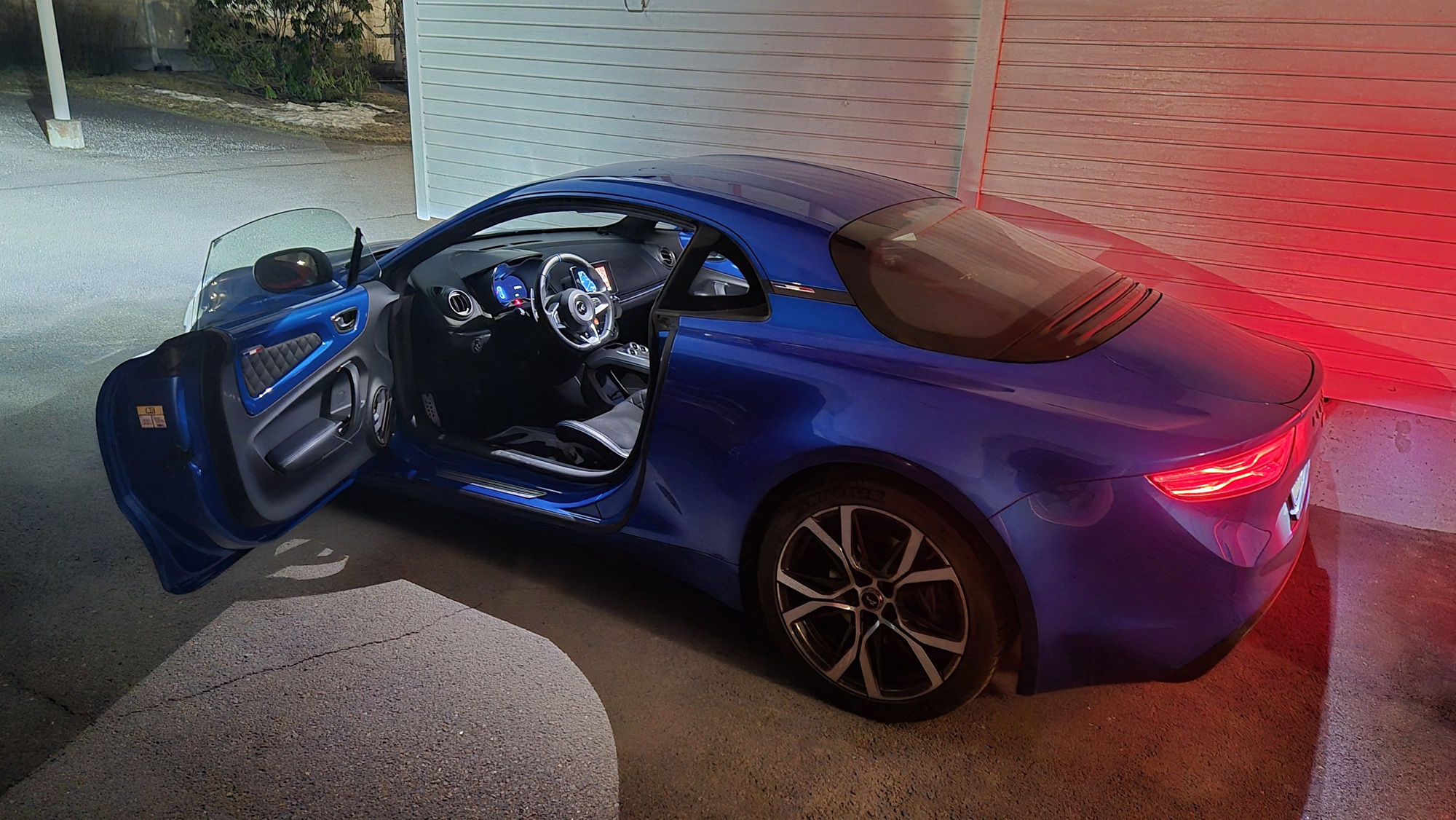
The next major event for the Alpine will, as usual, be the spring road trip in Europe. This time the journey will take me to the Pyrenees, on the border between France and Spain. A full report will follow after the trip.